Issue Date: Monday, July 10, 2017
Issue Time: 10:40AM MDT
Summary:
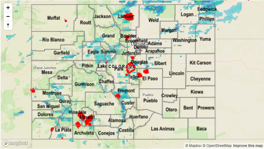
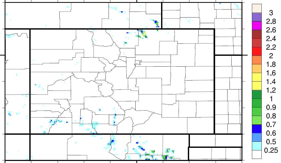
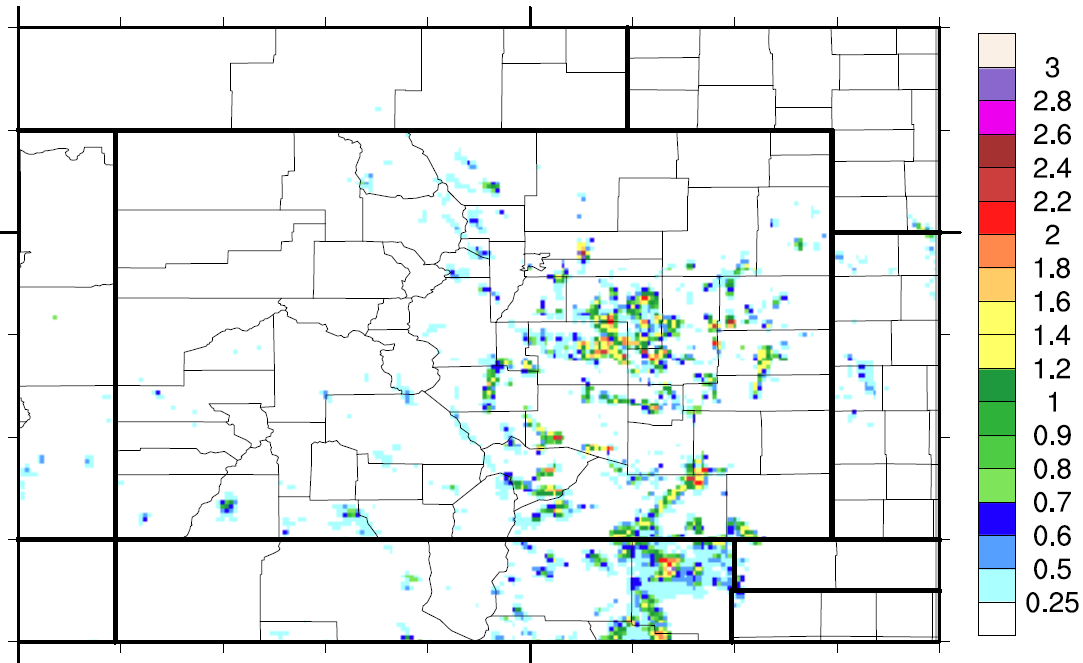
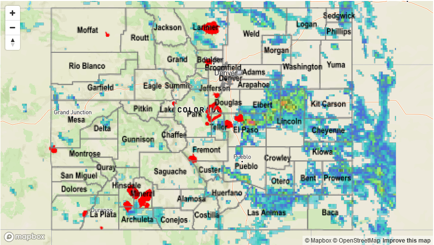
Storms began to fire off in the high country around noon. Westward movement of the ridge allowed moisture to return to the western side of the Continental Divide. Over the northern portion of the state, extra lift was provided by a speed maximum in the zonal flow, which helped the formation of widespread showers. While the showers and thunderstorms were widespread in the high country, precipitation was limited. The largest recorded storm total in the mountains was a 0.9 inches, but radar estimates were a bit higher with 1 inch in the storm cores. As storms began to move east over the Urban Corridor in the late afternoon, they quickly weakened due to lack of moisture and lift. Some storms over Palmer Divide were able to maintain their vertical motion and they dropped about 1.2 inches of rain over Douglas and rural Elbert County. Another storm over rural Weld County had a storm total estimated at 1.75 inches. Grand Junction finally broke its 34 day streak of no rainfall. It recorded a trace of rain and stayed under 100+F ending the 5 day extreme heat streak.
There were no storm reports yesterday and flooding was not reported on Monday. For rainfall estimates where you live, scroll down to the State Precipitation Map.