Issue Date: Saturday, July 8, 2017
Issue Time: 9:45AM MDT
Summary:
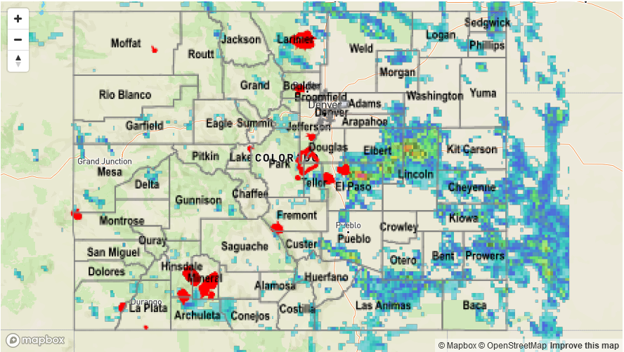
A cool front moved into eastern Colorado from the northeast on Friday afternoon, provide a focal point for scattered to numerous showers and thunderstorms. Highest coverage was over the mountains as well as the Palmer Ridge, Northeast Plains and Southeast Plains. Initial storms were of the garden variety with short term heavy rainfall up to 0.75 inches. However, as storms produced outflow boundaries that moved eastward, they gained access to higher moisture and intensified. The most impressive cell of the day was likely over rural El Paso County where over 2 inches of rain fell in 1 hour. Numerous other storms produced over 1 inch per hour of rain. Three flood advisories were issued during the afternoon and evening, though flooding was fortunately not reported as of this morning. In addition, large hail up to 1.75 inches was reported for far eastern storms that had access to stronger wind shear.
West of the Continental Divide, storm activity continued to increase compared to previous days, but a dry sub-cloud atmosphere strongly limited rainfall to below 0.25 inches. Heat was instead the big headline with Grand Junction topping 100F once again, combined with a dry streak of 31 days (of no rainfall at all – not even a trace).
For rainfall estimates in your area, check out the State Precipitation Map below.