Issue Date: Sunday, May 27th, 2018
Issue Time: 9:30 AM MDT
Summary:
Yesterday was hot statewide underneath the ridge of high pressure aloft. As the ridge axis shifted eastward, south-southwesterly flow aloft was able to drag mid- and high-clouds overhead from New Mexico, resulting in a mostly cloudy afternoon/evening across the San Juan Mountains, San Luis Valley, Central Mountains, Southeast Mountains, Southeast Plains, Raton Ridge, Front Range, Urban Corridor, and western portions of the Northeast Plains regions. After sunset, mid-level moisture accompanied by a weak disturbance was able to sneak into far western CO (near the Utah border), resulting in a few high-based showers that resulted in virga and gusty winds, with a brief sprinkle reaching the surface of higher elevations, at most.
No flash flooding was reported yesterday.
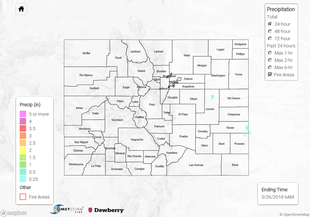
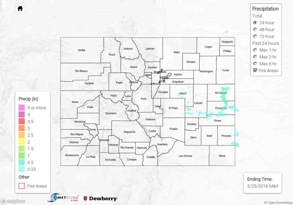
Click Here For Map Overview
Note: We have identified a possible underestimation in QPE over the southwest part of the state. We are working to on this issue, and will provide an update as soon as possible.