Issue Date: Saturday, May 26th, 2018
Issue Time: 9:30 AM MDT
Summary:
Sunny skies and warm temperatures were the result of high pressure ridging setting up shop over Colorado yesterday. The skies were dotted by a few fair weather cumulus, especially over/near the higher terrain, as that was all the atmosphere could muster yesterday. Since there isn’t much precipitation about which to talk, the fire weather conditions setting up for this weekend deserve some attention. Very dry air will combine with gusty winds across much of the state, with the worst conditions across southern Colorado west of I-25 thanks to dry fuels from worsening drought conditions. It is of utmost importance to be careful with anything that may produce a spark, including grilling on this holiday weekend. Please check in with your local National Weather Service office for more information regarding the Red Flag Warnings.
Click Here For Map Overview
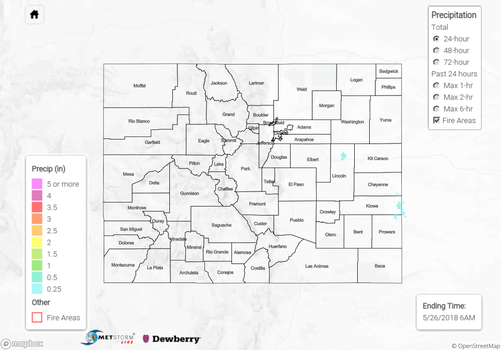
Note: We have identified a possible underestimation in QPE over the southwest part of the state. We are working to on this issue, and will provide an update as soon as possible.