Issue Date: Thursday, May 31st, 2018
Issue Time: 9:30 AM MDT
Summary:
A shortwave disturbance embedded in the southwesterly flow aloft brought an increase in moisture and acted as a trigger for scattered showers and thunderstorms across Colorado yesterday. West of the Continental Divide, low-level moisture lacked and limited showers and thunderstorms to a more garden-variety type, producing light rain and gusty winds. The strongest of the wind gusts (56 mph) was reported 5 miles NW of Mack in Mesa County, and a 49 mph wind gust was reported at the Montrose Regional Airport.
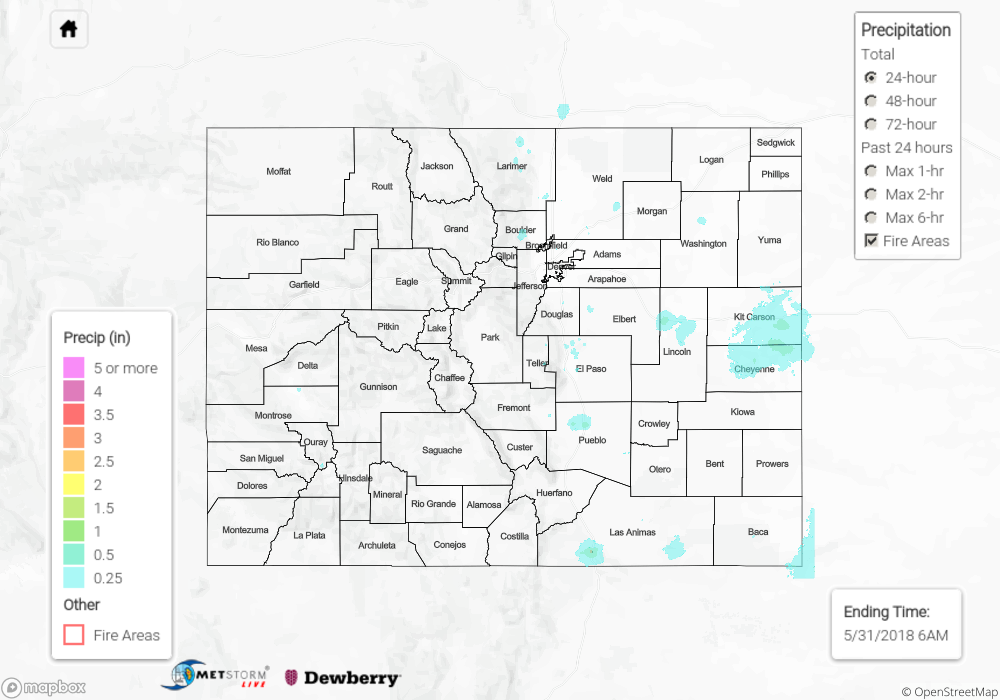
East of the Continental Divide, and especially for the lower elevations east of the mountains, low-level moisture was sufficient to provide the fuel for more numerous, stronger thunderstorms. The peak of thunderstorm activity was from the late afternoon through sunset, and storms quickly diminished between sunset and midnight. Periods of moderate-to-heavy rainfall attended the stronger storms; 1 inch/40 minutes was reported 7 miles SW of Calhan in El Paso County.
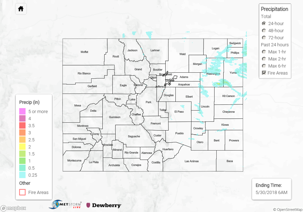
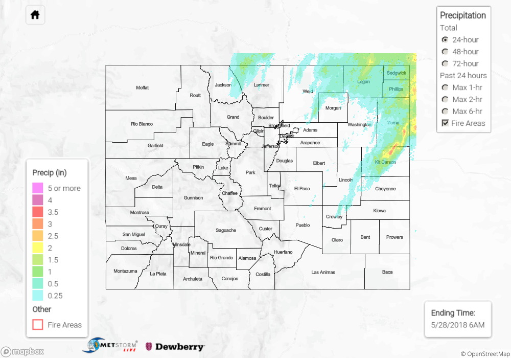
No flash flooding was reported yesterday. For a look at precipitation estimates in your area, please see our State Precipitation Map below.
Click Here For Map Overview
Note: We have identified a possible underestimation in QPE over the southwest part of the state. We are working to on this issue, and will provide an update as soon as possible.