Issue Date: Wednesday, May 30th, 2018
Issue Time: 9:30 AM MDT
Summary:
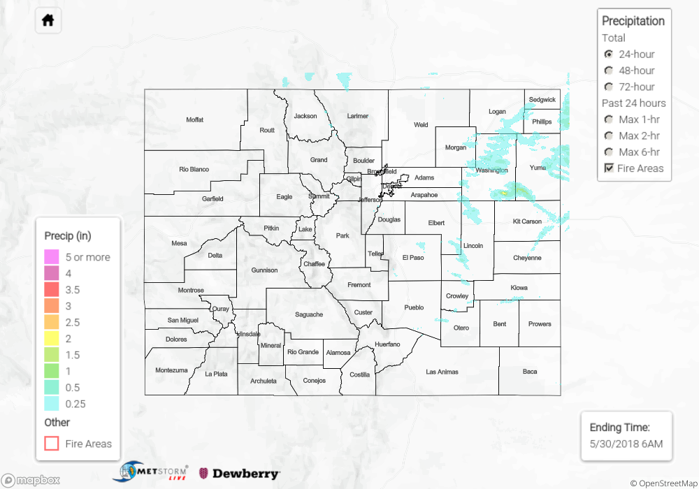
Yesterday was marked by mostly sunny skies and mainly dry conditions thanks to an exiting upper-level trough leaving Colorado under cooler, northwest flow aloft. Enough moisture hung around for another afternoon/evening round of showers and thunderstorms; most were garden-variety, producing light rainfall, a bit of lightning, and gusty winds, but a couple over eastern Colorado became severe, producing large hail over Washington, Yuma, and Kit Carson counties. The biggest hail report of the day was 1.75” diameter, produced by an isolated thunderstorm over Yuma County, 4 miles NNW of Joes. Brief periods of moderate rain attended these thunderstorms, resulting in beneficial wetting rains and not causing any flash flood concerns.
Around midnight, and continuing into this morning, a second round of weak showers/thunderstorms developed across the Southeast Plains, owing in part to a quasi-stationary frontal boundary over northeast New Mexico. This activity produced mainly light rainfall, with no flooding concerns.
Flash flooding was not reported yesterday. For a look at precipitation estimates in your area, please see our State Precipitation Map below.
Click Here For Map Overview
Note: We have identified a possible underestimation in QPE over the southwest part of the state. We are working to on this issue, and will provide an update as soon as possible.