SPM 05-28-2020: Afternoon Mountain Storms Return

Issue Date: Thursday, May 28th, 2020
Issue Time: 9:55AM MDT

Summary:

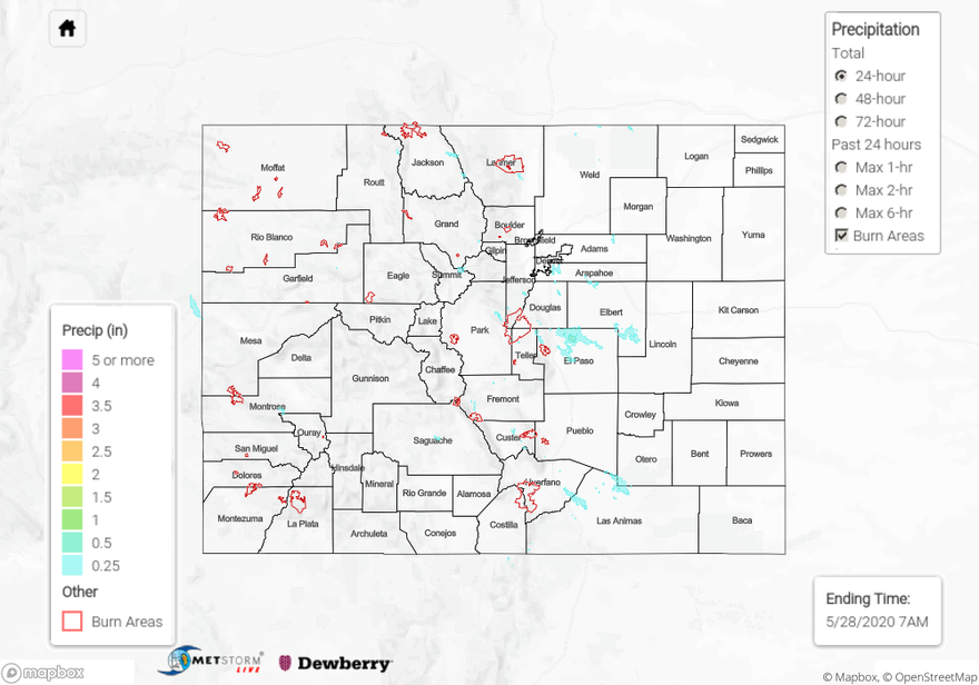
Storms returned to the forecast as an approaching shortwave from our northeast moved into the area during the afternoon. This helped increase both lift and moisture. Storms were mostly confined to the mountains with the more northerly flow, but some storms moved into the adjacent eastern plains. Over the mountains, storm totals were estimated as high as 0.25 inches (west) and 0.50 inches (east). Trailing storms helped increase totals as 1-hour rain rates were below these values. There were also some gusty outflow winds over western Colorado reported by ASOS stations. As storms moved off the eastern mountains, they favored the Raton and Palmer Ridge for accumulations. A storm in El Paso County produced up to 0.75 inches (radar estimated) with a CoCoRaHS in the are recording between 0.50 and 0.55 inches. There were also a couple light overnight showers on the eastern plains, but totals were under 0.20 inches. Flooding was not reported on Wednesday.

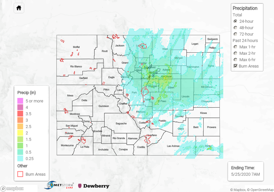
For precipitation estimates in your neighborhood over the last 24-hours, scroll down to the State Precipitation Map below.

Click Here For Map Overview

The map below shows radar-estimated, rainfall gage-adjusted Quantitative Precipitation Estimates (QPE) across Colorado. The map is updated daily during the operational season (May 1 – Sep 30) by 11AM. The following six layers are currently available: 24-hour, 48-hour and 72-hour total precipitation, as well as maximum 1-hour, 2-hour and 6-hour precipitation over the past 24 hour period (to estimate where flash flooding may have occurred). The 24-hour, 48-hour and 72-hour total precipitation contain bias corrections that are not disaggregated into the hourly estimates, so there will likely be some differences. The accumulation ending time is 7AM of the date shown in the bottom right corner. Also shown optionally are vulnerable fire burn areas (post 2012), which are updated throughout the season to include new, vulnerable burn areas. The home button in the top left corner resets the map to the original zoom.

SPM 05-27-2020: Temperatures on the Rise with Weak Showers over the Northern and Central Mountains

Issue Date: Wednesday, May 27th, 2020
Issue Time: 9:20AM MDT

Summary:

Temperatures were on the rise yesterday as the ridge began to build overhead. The warmest recorded temperatures were over the southwest corner of the state and Southeast Plains. Cortez-Montezuma reached 83F and La Junta recorded 85F as it’s max temperature for the 24-hour period. A weak shortwave helped produce some light showers over Northern and Central Mountains, but lack of moisture produced a lot of virga. CoCoRaHS reports were around 0.05 inches near Avon with the highest radar estimates over Eagle County. Totals over the 24-hour window were estimated up to 0.10 inches.

For precipitation estimates in your area over the last 72-hours, scroll down to the State Precipitation Map below. Note that the echo over Lincoln County is an error in the gridded rainfall data.

Click Here For Map Overview

The map below shows radar-estimated, rainfall gage-adjusted Quantitative Precipitation Estimates (QPE) across Colorado. The map is updated daily during the operational season (May 1 – Sep 30) by 11AM. The following six layers are currently available: 24-hour, 48-hour and 72-hour total precipitation, as well as maximum 1-hour, 2-hour and 6-hour precipitation over the past 24 hour period (to estimate where flash flooding may have occurred). The 24-hour, 48-hour and 72-hour total precipitation contain bias corrections that are not disaggregated into the hourly estimates, so there will likely be some differences. The accumulation ending time is 7AM of the date shown in the bottom right corner. Also shown optionally are vulnerable fire burn areas (post 2012), which are updated throughout the season to include new, vulnerable burn areas. The home button in the top left corner resets the map to the original zoom.

SPM 05-26-2020: Beautiful Memorial Day

Issue Date: Tuesday, May 26th, 2020
Issue Time: 9:40AM MDT

Summary:

It was a beautiful Memorial Day across the state considering the cold temperatures and widespread rainfall that occurred on Sunday. Temperatures were a little cooler than average over eastern Colorado and the mountains, but virtually rain free conditions and sunshine helped it feel warmer. Highs were able to reach the mid to upper 70Fs over the lower elevations of western Colorado. Lows across many parts of the state were within 3F of records, so it was much cooler overnight. As far as rainfall, there were some light showers over the Front Range along the Continental Divide early in the morning and later in the evening, but 24-hour totals were under 0.25 inches.

For precipitation estimates in your neighborhood over the last 24- to 72-hours, scroll down to the State Precipitation Map below.

Click Here For Map Overview

The map below shows radar-estimated, rainfall gage-adjusted Quantitative Precipitation Estimates (QPE) across Colorado. The map is updated daily during the operational season (May 1 – Sep 30) by 11AM. The following six layers are currently available: 24-hour, 48-hour and 72-hour total precipitation, as well as maximum 1-hour, 2-hour and 6-hour precipitation over the past 24 hour period (to estimate where flash flooding may have occurred). The 24-hour, 48-hour and 72-hour total precipitation contain bias corrections that are not disaggregated into the hourly estimates, so there will likely be some differences. The accumulation ending time is 7AM of the date shown in the bottom right corner. Also shown optionally are vulnerable fire burn areas (post 2012), which are updated throughout the season to include new, vulnerable burn areas. The home button in the top left corner resets the map to the original zoom.

SPM 05-25-2020: Plenty of Beneficial Rainfall

Issue Date: Monday, May 25th, 2020
Issue Time: 9:00 AM MDT

Summary:

A large, upper-level trough moved slowly overhead yesterday, providing sufficient dynamic forcing for widespread showers and thunderstorms east of the Continental Divide. Showers began early in the day and increased in coverage and intensity through the afternoon and evening hours, diminishing slowly after sunset. A few isolated showers continued into the early morning hours over the far Southeast Plains. The rainfall proved beneficial, with more than a half-inch of rain being reported at many locations along/east of the Front Range without resulting in flash flooding. A few of the higher reports from CoCoRaHS observers (as of 7 AM MDT) include:

1.65 inches (Douglas County)
1.45 inches (Jefferson County)
1.35 inches (El Paso County)
1.28 inches (Elbert County, Boulder County)
1.24 inches (Denver County)
1.14 inches (Fremont County)
1.12 inches (Arapahoe County)
1.02 inches (Adams County)

West of the Continental Divide, showers were more isolated, confined mainly to the highest elevations of the Central Mountains, Northern Mountains, and San Juan Mountains. Above 8000 feet, most of this precipitation fell as snow.

Flooding was not reported on Saturday. For rainfall estimates in your area, check out our State Precipitation Map below.

Click Here For Map Overview

The map below shows radar-estimated, rainfall gage-adjusted Quantitative Precipitation Estimates (QPE) across Colorado. The map is updated daily during the operational season (May 1 – Sep 30) by 11AM. The following six layers are currently available: 24-hour, 48-hour and 72-hour total precipitation, as well as maximum 1-hour, 2-hour and 6-hour precipitation over the past 24 hour period (to estimate where flash flooding may have occurred). The 24-hour, 48-hour and 72-hour total precipitation contain bias corrections that are not disaggregated into the hourly estimates, so there will likely be some differences. The accumulation ending time is 7AM of the date shown in the bottom right corner. Also shown optionally are vulnerable fire burn areas (post 2012), which are updated throughout the season to include new, vulnerable burn areas. The home button in the top left corner resets the map to the original zoom.