STP 06-03-2015: Dry Air and Sunshine Won the Weather Battle

Issue Date: Wednesday, May 3rd, 2015
Issue Time: 9:00 AM MDT

Summary:

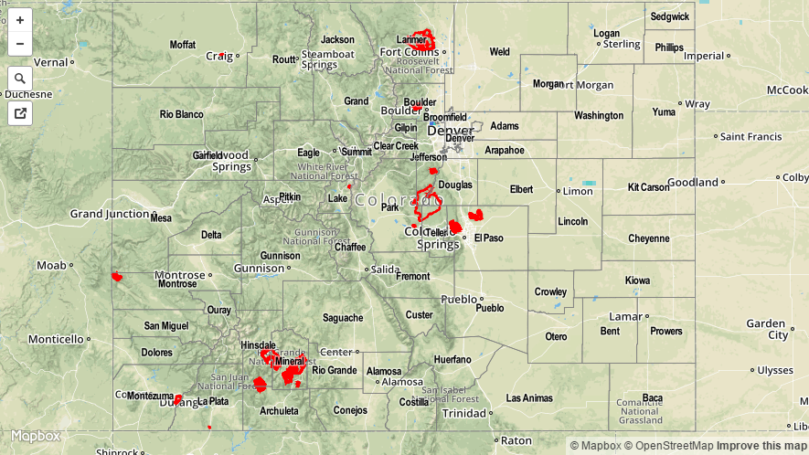
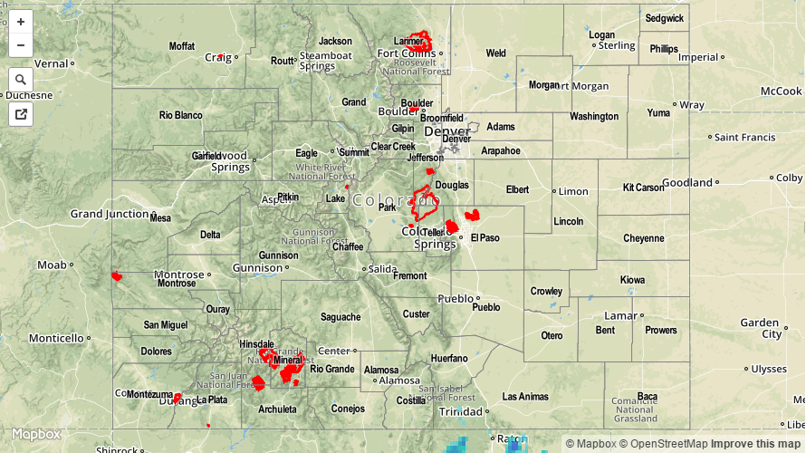
FLOOD WARNINGS CONTINUE FOR PORTIONS OF THE CACHE LA POUDRE AND SOUTH PLATTE RIVERS.

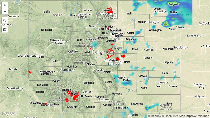
Yesterday was the warmest of 2015 for most locations across the state as dry air and sunshine made their presence known. A couple isolated thunderstorms rumbled across far northeastern Colorado where a weak disturbance was able to tap into the best (relatively speaking) moisture. No severe weather reports were generated and no flash flooding was reported from any thunderstorm activity, making yesterday nearly the perfect definition of a dry, Colorado summer day.

20150603_STPImage
Storm Total Precip Legend

STP 06-02-2015: Heavy Rainfall In The Northeast Plains, But Quieter Elsewhere

Issue Date: Tuesday, June 2nd, 2015
Issue Time: 9:30 AM MDT

Despite the presence of an upper-level ridge, several rounds of shower and thunderstorm activity moved across mainly eastern Colorado. Storm motion was quite fast, above 30 mph, but the abundance of low-level moisture persevered and led to isolated very heavy rain rates. The highest rainfall amounts were limited to Yuma, Phillips, Sedgwick and Logan counties where one particular storm dumped more than 2 inches of rain. Flooding was reported on Highway 34 near Yuma where law enforcement noted mud covering the roadway. In addition to the rainfall, several thunderstorms were responsible for large hail. Hail between 1.5 and 1.75 inches was reported in Las Animas County, east of Kim.

For most everyone else, rainfall was limited to between 0.25 and 0.75 inches as storms were batting the sinking motion being forced by the upper-level ridge.

For estimated rainfall in your area, be sure to check out the rainfall map below.

20150602_STPImage
Storm Total Precip Legend

STP 06-01-2015: Upper-Level Ridging Promoted More Sunshine and Fewer Storms

Issue Date: Monday, June 1st, 2015
Issue Time: 9:00 AM MDT

Summary:

FLOOD WARNINGS CONTINUE FOR A PORTION OF THE ARKANSAS RIVER.

With upper-level high pressure over the state, yesterday’s weather was marked by an increase in sunshine and warmth, leading us right into the first day of Meteorological Summer (today). A few showers and thunderstorms percolated over the higher terrain, with isolated-to-scattered storms moving across the plains during the afternoon and evening. A few showers are still ongoing over the mountains and over Weld County/Cheyenne Ridge. Rainfall totals were generally light, most reports are less than 0.1 inches, as moisture was fairly shallow. A few of the higher totals reported by CoCoRaHS observers are as follows:

Baca County: 1.10 inches
Cheyenne County: 0.52 inches
Pueblo County: 0.48 inches
Lincoln County: 0.40 inches
Weld County: 0.38 inches
Larimer County: 0.36 inches
Prowers County: 0.34 inches
La Plata County: 0.33 inches

No flash flooding was reported yesterday. Be sure to check out the radar-estimated rainfall map below.

STP_snapshot_20150601

STP 05-31-2015: A Handful Of Storms Beat The Odds, But Little Rainfall

Issue Date: Sunday, May 31th, 2015
Issue Time: 9:05 AM MDT

Summary:

With a ridge overhead, thunderstorm activity was effectively squashed statewide on Saturday. By late afternoon, a few rogue storms were able to form over the Northwest Slope, Front Range and Southeast Mountains. However, the storms looked more impressive that they actually were: highest observed rainfall was only 0.05 inches. No flooding was reported yesterday. See our map below for the radar estimated rainfall in your area.

We are taking this lull in action to begin to appreciate just how active May was; not so much from the flooding aspect, but certainly from the total precipitation aspect. One tool we commonly use for our Flood Threat Bulletin forecasts is the precipitable water (PW). This measures the amount of water vapor (not liquid, only gaseous water!) in the overhead column of atmosphere. In Colorado, when PW exceeds about 0.7 inches, this may be the first indication of a heavier rainfall threat. When values exceed 1 inch, there is a very high likelihood of action somewhere in the state. The charts below, courtesy of NOAA’s Earth System Research Lab, show the PW from this past May. The 0.7 inch line is marked by a thick black line. Impressively, during almost every day except for a handful, PW exceeded 0.7 inches in at least one of the three main stations we use: Pueblo (purple), Grand Junction (green) and Boulder (blue).

IPW_historicalSo how does this compare to normal? Well, we also included a chart of 2014, a more typical year. Note that only 7-10 days exceeded the 0.7 inch threshold. Meanwhile, also shown is 2012, the year of an intense spring/summer drought. Note that during that year only a couple of days exceeded PWs of 0.7 inches, but Grand Junction did not exceed 0.7 inches for the entire month! This is a quick way to get a perspective on just how unusual this May has been.
20150531_STPImage
Storm Total Precip Legend