Issue Date: Tuesday, June 2nd, 2015
Issue Time: 9:30 AM MDT
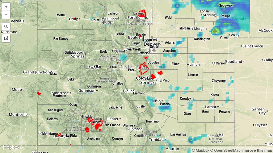
Despite the presence of an upper-level ridge, several rounds of shower and thunderstorm activity moved across mainly eastern Colorado. Storm motion was quite fast, above 30 mph, but the abundance of low-level moisture persevered and led to isolated very heavy rain rates. The highest rainfall amounts were limited to Yuma, Phillips, Sedgwick and Logan counties where one particular storm dumped more than 2 inches of rain. Flooding was reported on Highway 34 near Yuma where law enforcement noted mud covering the roadway. In addition to the rainfall, several thunderstorms were responsible for large hail. Hail between 1.5 and 1.75 inches was reported in Las Animas County, east of Kim.
For most everyone else, rainfall was limited to between 0.25 and 0.75 inches as storms were batting the sinking motion being forced by the upper-level ridge.
For estimated rainfall in your area, be sure to check out the rainfall map below.