STP 07-29-2015: Mostly Sunny and Cooler, with a Few Showers and Weak Thunderstorms

Issue Date: Wednesday, July 29th, 2015
Issue Time: 9:00 AM MDT

Summary:

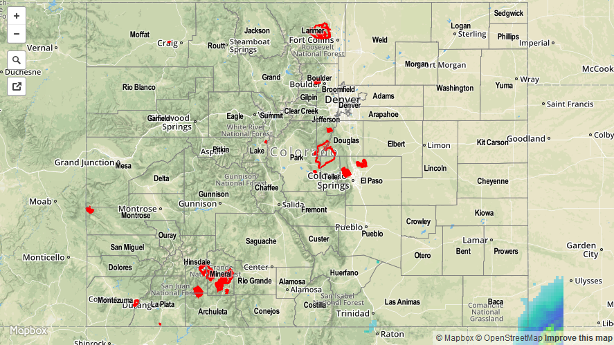
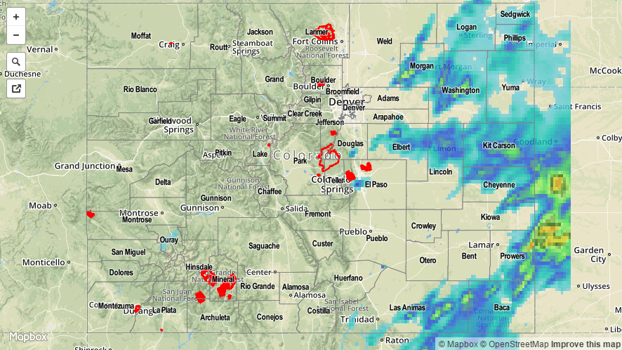
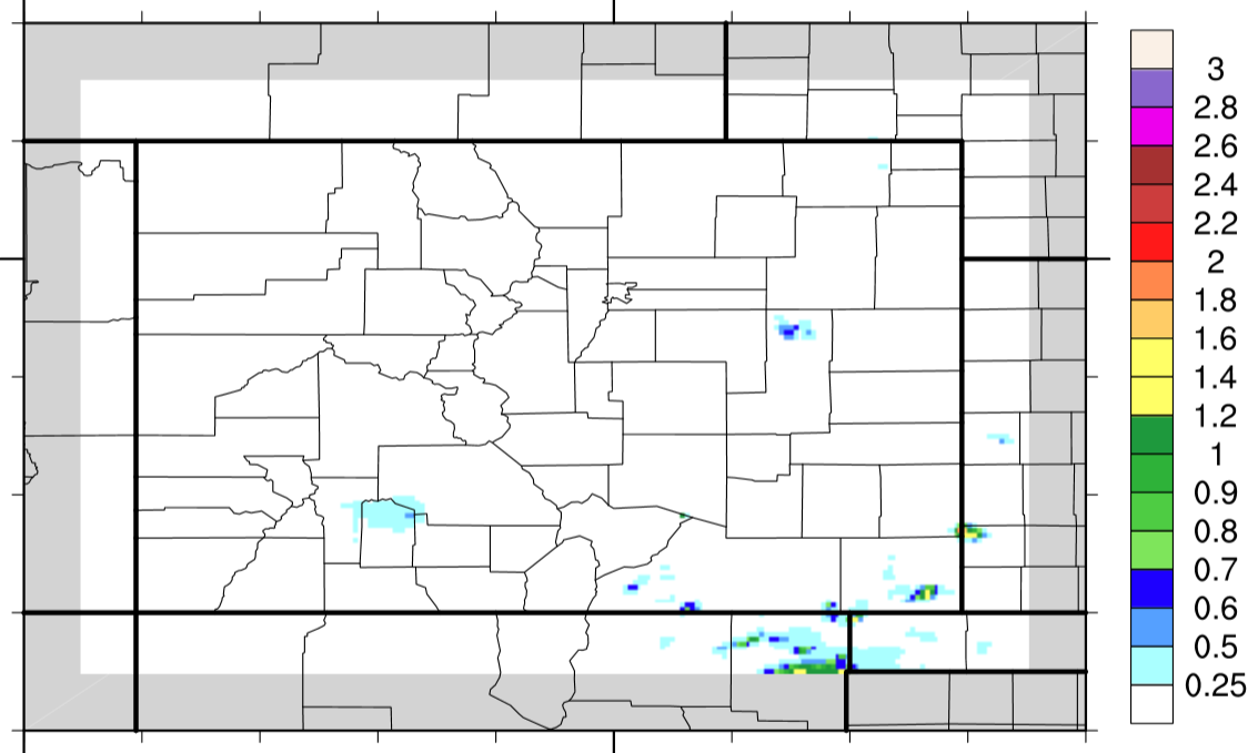
After the passage of a weak cool front, Colorado received a cool down on high temperatures as compared to previous days. Breezy conditions accompanied this cooler air at times, and it was an overall pleasant day across the state. A few showers/weak thunderstorms were able to develop (mainly during the evening/overnight hours) over central/southern mountains and lower elevations of eastern Colorado, but nothing of note. The best dynamic forcing associated with the disturbance mentioned in yesterday’s FTB existed to the south and east of Colorado, causing the best rainfall to occur across northeast NM, southwest KS, and the OK pandhandle. As it slid by, a prolonged period of light rain impacted eastern Baca County.

There weren’t any severe storm reports from yesterday, and no flash flooding was observed.

07292015_STPImage
Storm Total Precip Legend

STP 07-28-2015: Isolated-to-Scattered Thunderstorms Broke Up the Otherwise Mostly Sunny Skies

Issue Date: Tuesday, July 28th, 2015
Issue Time: 9:00 AM MDT

Summary:

An upper-level disturbance moved quickly across Colorado yesterday, providing a trigger for isolated-to-scattered showers and thunderstorms. Rainfall intensities were capped as dry air moved in from the west, causing precipitable water values to plummet to below 0.75 inches at all four of the normal reporting stations (Boulder, Grand Junction, Shriever AFB, and Pueblo). The result were thunderstorms producing mainly light rain and gusty winds. For a look at statewide rainfall, check out the radar-derived Storm Total Precipitation map below.

No flash flooding occurred yesterday. The only storm report was for a non-thunderstorm wind gust of 64 mph 26 miles North of Mack (Garfield County).

07282015_STPImage
Storm Total Precip Legend

STP 07-27-2015: Lots of Action East of the Divide, Drier to the West

Issue Date: July 27th, 2015
Issue Time: 9:15AM

Summary:

It was a two sided weather story yesterday across Colorado. While areas west of the Divide dried out during the afternoon, a passing disturbance ignited thunderstorm activity over the eastern Plains. Not surprisingly, with moisture increasing strongly as initial storms marched eastward, heavy rainfall rates were observed. The heaviest official rainfall was seen in Prowers and Lincoln counties where several locations picked up about 2 inches. As is common in the summertime, most of this rain likely fell in a period of about an hour.

In addition, many hail reports were received with the strongest storms. The largest hail of about 1.75 inches fell in Logan County, while many other reports ranging from nickel size to ping pong size were received in Washington, Morgan and Kit Carson counties. Finally, gusty winds were observed across many locations, from the foothills all the way to the Kansas and Nebraska borders. Widespread gusts up to 60 mph was noted as the initial thunderstorms merged into storm complexes over Yuma, Cheyenne and Kit Carson counties.

All in all, 14 weather warnings were issued by area National Weather Service offices. Six of them were flood related, 8 were severe weather related. As of this morning, no official flooding reports were received. However, it should be noted that some of the strongest rainfall occurred over rural regions and may have been missed.

For an estimate of 24-hour rainfall that occurred in your area, please check out our radar based map below. Since this is only an estimate, please be aware that some rain totals (for example, eastern Prowers County) may be greatly overestimated due to hail contamination.

20150727_STPImage
Storm Total Precip Legend

STP 07-26-2015: Mostly Sunny for Most as Drier Air Worked In, Some Thunderstorms Rumbled

Issue Date: Sunday, July 26th, 2015
Issue Time: 9:00 AM MDT

Summary:

For nearly everyone, yesterday was a beautiful Saturday marked by mostly sunny skies and warm temperatures as dry air worked in from the west. A few High Country showers and weak thunderstorms were able to develop, producing less than 0.1 inches of rainfall. The best storms of the day developed in the Raton Ridge and Southeast Plains regions, near a surface boundary along the CO/NM border. They produced brief bouts with moderate rainfall and gusty winds.

There weren’t any severe storm reports from yesterday, and no flash flooding was observed.

STP_snapshot_20150726