Issue Date: Tuesday, July 28th, 2015
Issue Time: 9:00 AM MDT
Summary:
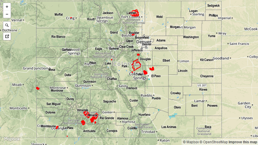
An upper-level disturbance moved quickly across Colorado yesterday, providing a trigger for isolated-to-scattered showers and thunderstorms. Rainfall intensities were capped as dry air moved in from the west, causing precipitable water values to plummet to below 0.75 inches at all four of the normal reporting stations (Boulder, Grand Junction, Shriever AFB, and Pueblo). The result were thunderstorms producing mainly light rain and gusty winds. For a look at statewide rainfall, check out the radar-derived Storm Total Precipitation map below.
No flash flooding occurred yesterday. The only storm report was for a non-thunderstorm wind gust of 64 mph 26 miles North of Mack (Garfield County).