STP 09-07-2015: Overall Pleasant Late-Summer Day Leads Colorado Right into Labor Day

Issue Date: Monday, September 7th, 2015
Issue Time: 9:00 AM MDT

Summary:

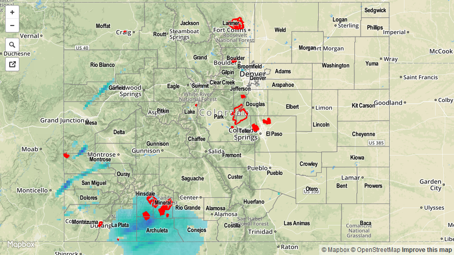
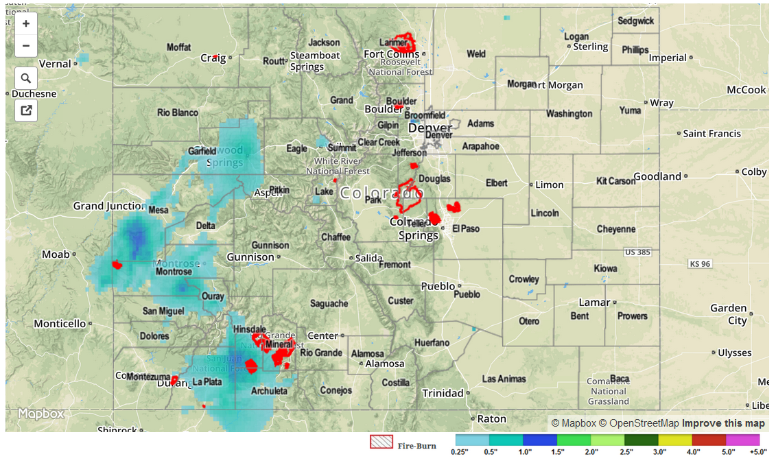
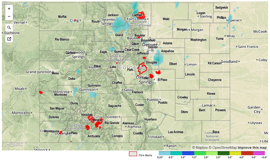
Drier air filtered into the state yesterday, resulting in lower precipitable water values and precipitation chances. A few scattered showers were able to develop, mainly over and near the higher terrain, during the afternoon and evening hours, resulting in brief light rainfall. According to CoCoRaHS observers, all precipitation totals were 0.12 inches or less. Otherwise, mostly sunny-to-partly sunny skies prevailed. Overnight and into this morning, lingering showers continue across the High Country.

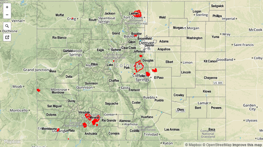
No flash flooding was reported yesterday. For a look at yesterday’s rainfall totals, be sure and check out the STP map below.

09082015_STPImage
Storm Total Precip Legend

STP 09-06-2015: San Juans Tally Good Rainfall Without Flooding Issues

Issue Date: 9/6/2015
Issue Time: 9:00AM

Summary

Several rounds of showers and weak thunderstorms raced across southwest Colorado on Saturday, supported by residual monsoon moisture and a strong jet stream overhead. For the most part, very fast storm motion, up to 50 mph, prevented the heavy rainfall threat. However, around 6PM, a few stronger thunderstorms moving into the south-facing slopes of the San Juans produced reports of 0.66 – 0.78 inches of rainfall in only 20 minutes. This is interesting because the highest 24-hour CoCoRaHS rain total in the area was only 0.81 inches, suggesting that most of yesterday’s amounts fell in less than one hour’s time. Outside of the San Juans, rainfall amounts were limited to about 0.4 inches in the Southwest Slope, Grand Valley and Central Mountains.

Once again, despite ominous afternoon skies, most residents in the Urban Corridor and eastern Plains saw a few drops of rain and some gusty wind. As we mentioned yesterday, it is very difficult to get any substantial rainfall east of the Continental Divide in the presence of a strong downsloping flow, such as that seen yesterday.

Flooding was not reported yesterday. For estimated rainfall in your area, check out radar-estimated map below.

09062015_STPImage
Storm Total Precip Legend

STP 09-05-2015: More Beneficial Rainfall Out West, Mostly Dry East

Issue Date: 9/5/2015
Issue Time: 9:00AM

A stubborn monsoonal push kept moisture at elevated levels, especially over western Colorado. The result was persistent showers and thunderstorms over the Continental Divide and points to the west. Rain rates were not overly impressive, with total 24-hour amounts up to about 0.8 inches across the San Juans, Central Mountains and Western Slope. Hourly rain rates up to about 0.5 inches were observed.

Meanwhile, downsloping flow kept the eastern plains very warm and mostly dry as temperatures approached the 100 degree mark over the lower Arkansas River valley.

Flooding was not reported yesterday. For estimated rainfall in your area, check out radar-estimated map below.

STP_snapshot_20150905

STP 09-04-2015: Widespread Light To Moderate Rainfall; No Flooding Problems

Issue Date: 9/4/2015
Issue Time: 9:15AM

Summary

An old monsoon surge and a large-scale trough acted to produce light to moderate rainfall for many areas across Colorado. With limited instability, and very fast steering winds, heavy rainfall was effectively ruled out. Instead, rain rates up to 0.5 inches per hour were common. In all, 24-hour rain totals up to 1 inch were observed, with the highest totals concentrated over the Urban Corridor, Front Range, Central Mountains and Western Slope.

Flooding was not reported yesterday. For estimated rainfall in your area, check out radar-estimated map below.

STP_snapshot_20150904