Issue Date: 9/6/2015
Issue Time: 9:00AM
Summary
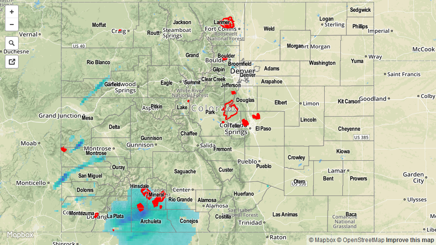
Several rounds of showers and weak thunderstorms raced across southwest Colorado on Saturday, supported by residual monsoon moisture and a strong jet stream overhead. For the most part, very fast storm motion, up to 50 mph, prevented the heavy rainfall threat. However, around 6PM, a few stronger thunderstorms moving into the south-facing slopes of the San Juans produced reports of 0.66 – 0.78 inches of rainfall in only 20 minutes. This is interesting because the highest 24-hour CoCoRaHS rain total in the area was only 0.81 inches, suggesting that most of yesterday’s amounts fell in less than one hour’s time. Outside of the San Juans, rainfall amounts were limited to about 0.4 inches in the Southwest Slope, Grand Valley and Central Mountains.
Once again, despite ominous afternoon skies, most residents in the Urban Corridor and eastern Plains saw a few drops of rain and some gusty wind. As we mentioned yesterday, it is very difficult to get any substantial rainfall east of the Continental Divide in the presence of a strong downsloping flow, such as that seen yesterday.
Flooding was not reported yesterday. For estimated rainfall in your area, check out radar-estimated map below.
![]()