STP 09-19-2015: After Early Showers Cleared Out, the Rest of the Day was Marked by Mostly Dry Conditions

Issue Date: Saturday, September 19th, 2015
Issue Time: 9:00 AM MDT

Summary:

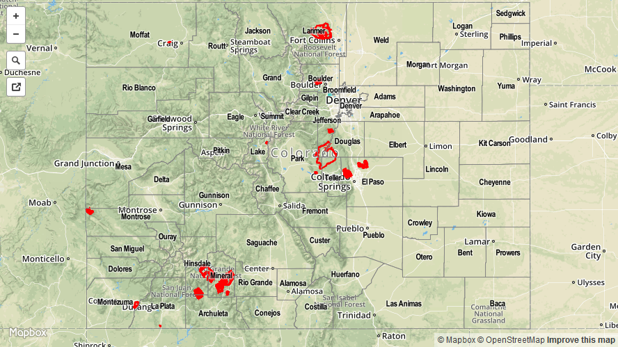
With the upper-level trough passing overhead, the morning was dotted with scattered showers across northern portions of the state. As the trough progressed eastward, subsidence and dry air filtered in behind it, leading to partly sunny skies and mainly dry conditions. The exception was over the Northern Mountains, Central Mountains, and Front Range regions where orographic effects combined with residual moisture to create very light showers during peak heating in the afternoon. 24-hour rainfall totals were miniscule, all coming in lower than 0.05 inches according to CoCoRaHS observers.

No flash flooding was reported yesterday.

09192015_STPImage
Storm Total Precip Legend

STP 09-18-2015: Scattered Showers Dotted the Northern Half of Colorado, a Few Ongoing

Issue Date: Friday, September 18th, 2015
Issue Time: 9:00 AM MDT

Summary:

The upper-level trough that was anchored to the west coast for a few days began its progress eastward, currently crossing the Northern/Central Rockies. With the movement of the trough, favorable dynamics worked across northern Colorado, producing mainly light showers/weak thunderstorms yesterday afternoon and through the overnight hours. Currently, a few scattered showers are ongoing across the Northern Mountains and northern portions of the Front Range/Urban Corridor/Northeast Plains. The dreaded “s” word (snow) returned to Northern Mountain peaks overnight, signaling just how close we are to the end of summer. No flash flooding was reported anywhere across the state.

Please be sure and check the STP map below for a statewide look at yesterday’s precipitation.

09182015_STPImage
Storm Total Precip Legend

STP 09-17-2015: Scattered Light Rain across the High Country, Dry and Hot to the East

Issue Date: Thursday, September 17th, 2015
Issue Time: 9:00 AM MDT

Summary:

Mother Nature is not giving us much to talk about regarding storm total precipitation; her dynamics have favored light rain rather than thunderstorms, and the lack of moisture to the east has resulted in hot and dry conditions. Abundant sunshine could be found everywhere east of the mountains, with Red Flag Warnings reminding us that Colorado fire season is never really over. CoCoRaHS observers reported that showers usually resulted in less than 0.15 inches of rainfall, with a few locations receiving around 0.25 inches.

No flash flooding was reported yesterday.

20150917_STPImage
Storm Total Precip Legend

STP 09-16-2015: Moisture Transport from the West Continued, Fire Danger Increased East of the Divide

Issue Date: Wednesday, September 16th, 2015
Issue Time: 9:00 AM MDT

Summary:

Yesterday was quite the grab bag of weather, with scattered showers and mostly clouds skies west of the Divide and mostly sunny, hot, and dry conditions to the east. A few isolated thunderstorms of the elevated and dry nature were able to fire up along the CO/KS border, producing basically nothing in the way of rainfall, but rather resulted in gusty outflow winds and lightning. The “big winners” regarding yesterday’s rainfall from CoCoRaHS observers are as follows:

La Plata County: 0.46 inches
Gunnison County: 0.45 inches
Delta County: 0.33 inches
Mesa County: 0.32 inches

The lone NWS storm report from the Grand Junction office indicates 0.65 inches of rain fell at Crested Butte (Gunnison County). Please be sure and check the STP map below for a statewide look at yesterday’s precipitation.

09162015_STPImage
Storm Total Precip Legend