Issue Date: Friday, September 18th, 2015
Issue Time: 9:00 AM MDT
Summary:
The upper-level trough that was anchored to the west coast for a few days began its progress eastward, currently crossing the Northern/Central Rockies. With the movement of the trough, favorable dynamics worked across northern Colorado, producing mainly light showers/weak thunderstorms yesterday afternoon and through the overnight hours. Currently, a few scattered showers are ongoing across the Northern Mountains and northern portions of the Front Range/Urban Corridor/Northeast Plains. The dreaded “s” word (snow) returned to Northern Mountain peaks overnight, signaling just how close we are to the end of summer. No flash flooding was reported anywhere across the state.
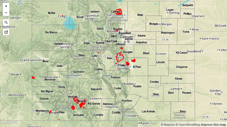
Please be sure and check the STP map below for a statewide look at yesterday’s precipitation.