Issue Date: 9/27/2015
Issue Time: 8:32AM
Summary:
Saturday continued a string a near perfect early fall days across Colorado, at least weather-wise. Morning low temperatures in the 40s (and even some 30s) quickly led way to afternoon high temperatures in the 80s for most low-elevation locations. The small exception was across the far-east where persistent low-clouds kept locations in the 70s for a second straight day. High elevation locations saw a substantial drying out during afternoons. For example, near Steamboat Springs, afternoon temperatures were in the mid-70s with dewpoint temperatures only in the 10s. Such low relative humidity values can be a cause for wildfire concern, but without a sustained wind, those concerns were greatly mitigated.
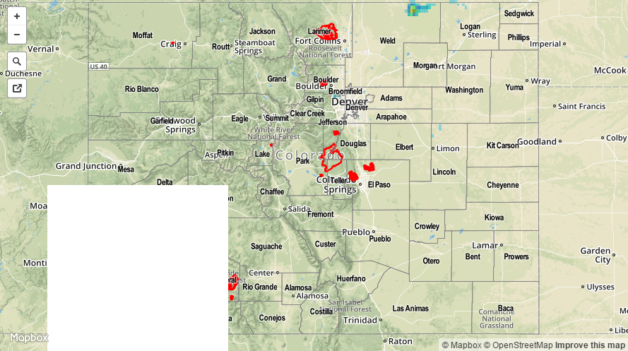
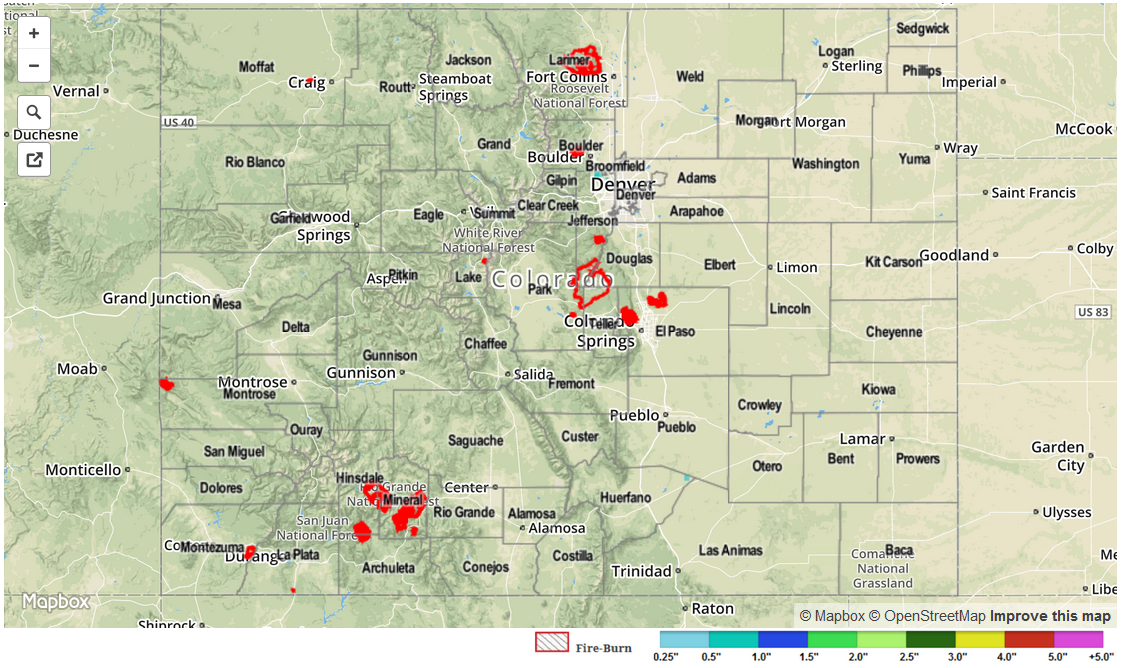
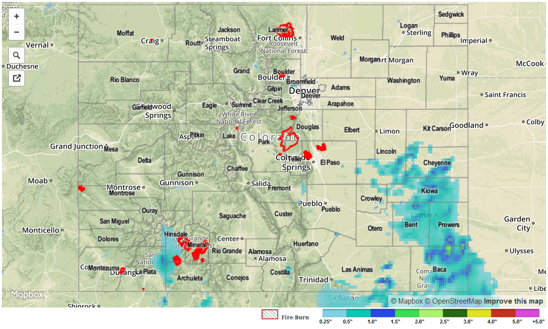
Rainfall/flooding were not reported yesterday.