Issue Date: Monday, May 9th, 2016
Issue Time: 9:00 AM MDT
Summary:
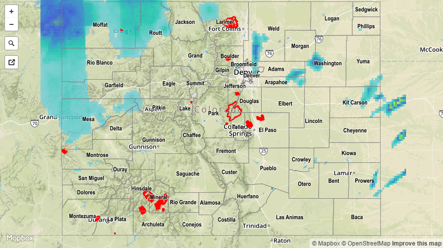
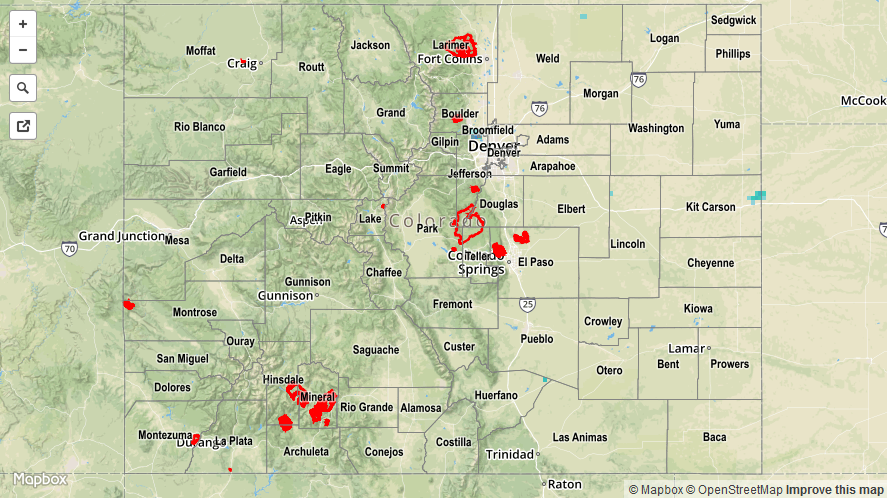
The upper-level low that has been responsible for the latest wet period continued its trek northeastward across Colorado yesterday, providing support for another day of unsettled weather. Showers and garden-variety thunderstorms dotted the state yesterday, with the main impacts being light-to-moderate rainfall and gusty winds. A few of the stronger storms, relatively speaking, produced brief periods of heavy rainfall, but not enough to create any flooding issues. Snow levels throughout the day were around 10,000 feet, dropping a bit lower overnight, and a few of the mountain passes are experiencing winter driving conditions this morning. Scattered showers continue this morning across the High Country, bringing both rain to the valleys and snow to the higher elevations.
Rainfall winners, according to CoCoRaHS (reports as of 7:00 AM MDT):
Routt County: 0.97 inches
Moffat County: 0.93 inches
Mesa County: 0.70 inches
Larimer County: 0.65 inches
Grand County: 0.60 inches
No flash flooding occurred yesterday. For a look at 24-hour precipitation, please see the STP map below.