Issue Date: Friday, May 6th, 2016
Issue Time: 9:00 AM MDT
Summary:
As the upper-level low continued to move onshore California, south/southwesterly flow aloft brought increasing moisture to western Colorado yesterday. Meanwhile, the upper-ridge axis remained over eastern Colorado, keeping the day dry and warm for areas east of the mountains. Isolated-to-scattered showers and thunderstorms dotted the higher terrain and adjacent valleys of the High Country throughout the afternoon and evening hours, and showers have continued into this morning across the western third of the state.
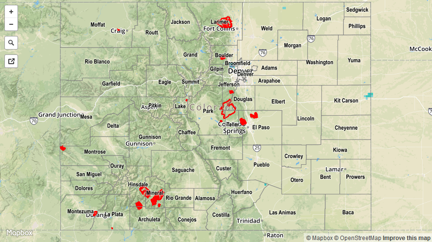
Rain rates remained on the light side, so no flash flooding occurred yesterday. For a look at 24-hour precipitation, please see the STP map below.