STP 07-28-2016: Isolated Strong-to-Severe Storms over the Plains

Issue Date: Thursday, July 28th, 2016
Issue Time: 9:00 AM MDT

Summary:

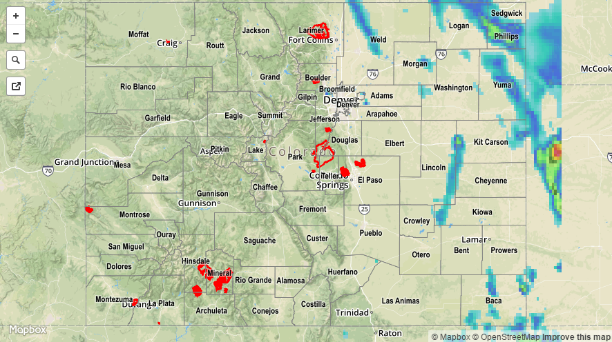
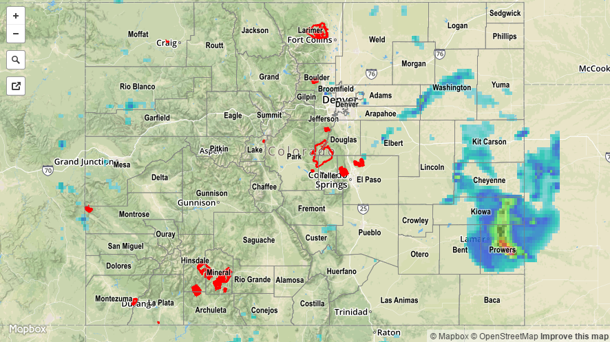
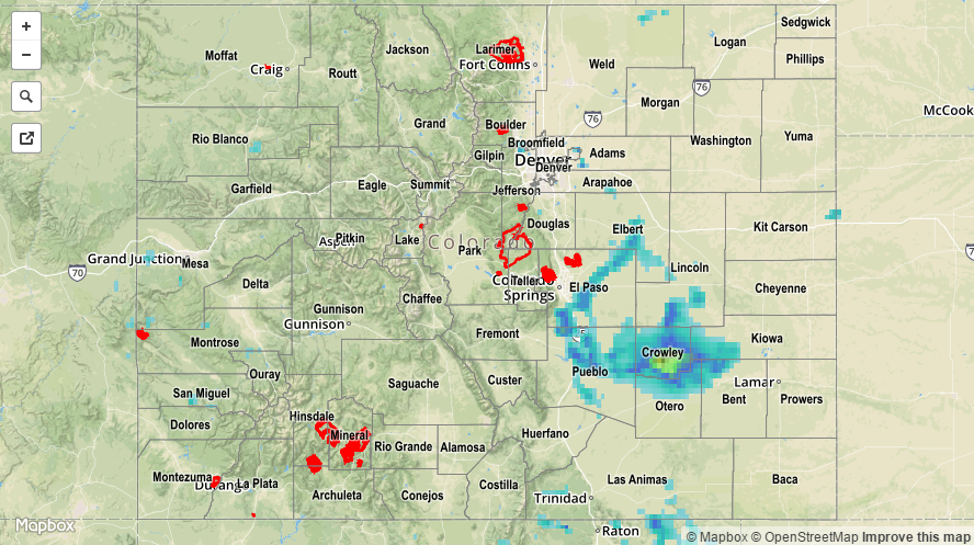
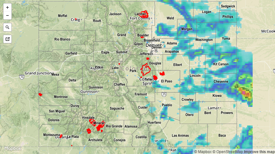
The High Country and Western Slope remained mainly dry yesterday as the atmosphere could only an isolated shower/weak thunderstorm or two. The main story over those areas were the hot temperatures, especially in the lower valleys. Further east, isolated strong/severe storms rumbled over the plains regions during the afternoon and through the overnight hours. Take a look at the severe storm observations reported to the National Weather Service:

70 mph thunderstorm wind gust: 9 miles NNE of Crook (Logan County)
2.50 inch hail: 2 miles E of Kersey (Weld County)
2.00 inch hail: 1 mile S of Galeton (Weld County)
1.75 inch hail: 1 mile ESE of Galeton (Weld County), 6 miles NNE of Nunn (Weld County), 4 miles E of Arriba (Lincoln County)
1.50 inch hail: 9 miles NNE of Crook (Logan County), S Arriba (Lincoln County)
1.00 inch hail: 6 miles NNW of Springfield (Baca County)
Tornado (brief): 1 mile E of Nunn (Weld County)

No flash flooding was reported. For a complete look at 24-hour precipitation totals, please take a look at the Storm Total Precipitation map below.

20160728_STPImage
Storm Total Precip Legend

STP 07-27-2016: Similar to Monday, One Thunderstorm Complex Provided the Main Show

Issue Date: Wednesday, July 27th, 2016
Issue Time: 9:00 AM MDT

Summary:

The eastern plains were subjected to the strongest thunderstorms of the day, with isolated storms producing gusty winds, locally heavy rainfall, and lightning. Over the High Country and Western Slope, the majority of the isolated-to-scattered showers/thunderstorms produced gusty winds and lightning. Brief bouts with moderate rainfall accompanied the stronger (relatively speaking) storms over the San Juan Mountains and Southwest Slope, but not enough to produce any reported flooding issues.

The heavy rain event of the day occurred across the far Southeast Plains. The thunderstorm complex ramped up intensity after 8 PM MDT, dropping buckets of rain across portions of Kiowa, Prowers, Bent and Cheyenne counties, finally coming to an end/exiting the state by 4 AM MDT. The lone heavy rainfall report to the National Weather Service came from 8 miles ENE of Lamar (Prowers County) where 2.53 inches of rain had fallen from this activity.

For a complete look at 24-hour precipitation totals, please take a look at the Storm Total Precipitation map below.

20160727_STPImage
Storm Total Precip Legend

STP 07-26-2016: Fewer Storms Overall, One Thunderstorm Complex Provided the Main Show

Issue Date: Tuesday, July 26th, 2016
Issue Time: 9:00 AM MDT

Summary:

As the title of this post suggests, yesterday saw a downtick in the number of thunderstorms as compared to the previous day. Isolated-to-scattered storms were still found over the High Country and Western Slope, while eastern Colorado focused on one main storm complex. This thunderstorm complex began first over Douglas and Elbert counties, then moving in a general south-southeastward direction across El Paso, Pueblo, Lincoln, and Crowley counties. It then lost its steam, becoming more of a general rainfall event as it moved slowly to the east-southeast, dissipating over Otero, Bent and Kiowa counties. Storm reports from this complex are as follows:

Thunderstorm wind gust: 63 mph (4 miles NE of Blende, Pueblo County), 60 mph (3 miles NE of Castle Rock, Douglas County), 55 mph (4 miles S of Cheraw, Otero County)
0.88 inch hail: 2 miles SSE of Fountain (El Paso County)
0.75 inch hail: 2 miles NW of Crowley (Crowley County)
Heavy Rain: 2.0 inches (5 miles WSW of Blende, Pueblo County), 0.87 inches/35 minutes (2 miles SSE of Fountain, El Paso County), 0.83 inches (1 mile SE of Pueblo West, Pueblo County)

No flash flooding was reported, but street and field ponding/flooding likely occurred underneath the stronger thunderstorms. For a complete look at 24-hour precipitation totals, please take a look at the Storm Total Precipitation map below.

20160726_STPImage
Storm Total Precip Legend

STP 07-25-2016: Strong-to-Severe Thunderstorms Rumbled Across Eastern Colorado

Issue Date: Monday, July 25th, 2016
Issue Time: 9:00 AM MDT

Summary:

The combination of a cool front, disturbance aloft, and sufficient instability/wind shear produced an afternoon and evening filled with scattered thunderstorms; a few were severe. The storm of the day, as far as heavy rain/flooding is concerned, occurred over Morgan County. Significant street flooding was reported within Fort Morgan, as well as flooded homes. 15 miles to the north of Fort Morgan, 2.75 inch hail was reported around 5:15 PM MDT. Other severe storm reports from around the state include:

Thunderstorm wind gust: 74 mph (Denver International Airport, Denver County), 63 mph (4 miles S of Cheraw, Otero County), 59 mph (Sterling, Logan County), 58 mph (4 miles SSW of Keenesburg, Weld County), 58 mph (8 miles SSW of Grover, Weld County), 57 mph (4 miles SW of Watkins, Arapahoe County)
Non-thunderstorm wind gust: 60 mph (Centennial, Arapahoe County)
Thunderstorm wind damage: Greenhouse was flattened (Byers, Arapahoe County), Large tree limbs broken (Hudson, Weld County)
1.75 inch hail: 7 miles SW of Grover (Weld County)
1.50 inch hail: 9 miles W of New Raymer (Weld County)
1.0 inch hail: 5 miles S of Wiggins (Morgan County)

Heavy rain, 1.20 inches in 1 hour, occurred 3 miles S of Vallecito (La Plata County), but no flash flooding issues were reported. For a complete look at 24-hour precipitation totals, please take a look at the Storm Total Precipitation map below.

20160725_STPImage
Storm Total Precip Legend