Issue Date: Tuesday, July 26th, 2016
Issue Time: 9:00 AM MDT
Summary:
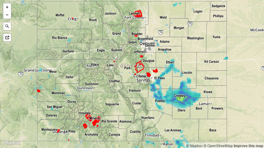
As the title of this post suggests, yesterday saw a downtick in the number of thunderstorms as compared to the previous day. Isolated-to-scattered storms were still found over the High Country and Western Slope, while eastern Colorado focused on one main storm complex. This thunderstorm complex began first over Douglas and Elbert counties, then moving in a general south-southeastward direction across El Paso, Pueblo, Lincoln, and Crowley counties. It then lost its steam, becoming more of a general rainfall event as it moved slowly to the east-southeast, dissipating over Otero, Bent and Kiowa counties. Storm reports from this complex are as follows:
Thunderstorm wind gust: 63 mph (4 miles NE of Blende, Pueblo County), 60 mph (3 miles NE of Castle Rock, Douglas County), 55 mph (4 miles S of Cheraw, Otero County)
0.88 inch hail: 2 miles SSE of Fountain (El Paso County)
0.75 inch hail: 2 miles NW of Crowley (Crowley County)
Heavy Rain: 2.0 inches (5 miles WSW of Blende, Pueblo County), 0.87 inches/35 minutes (2 miles SSE of Fountain, El Paso County), 0.83 inches (1 mile SE of Pueblo West, Pueblo County)
No flash flooding was reported, but street and field ponding/flooding likely occurred underneath the stronger thunderstorms. For a complete look at 24-hour precipitation totals, please take a look at the Storm Total Precipitation map below.