Issue Date: Friday, September 2nd, 2016
Issue Time: 9:00AM MDT
Summary
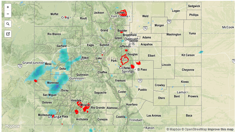
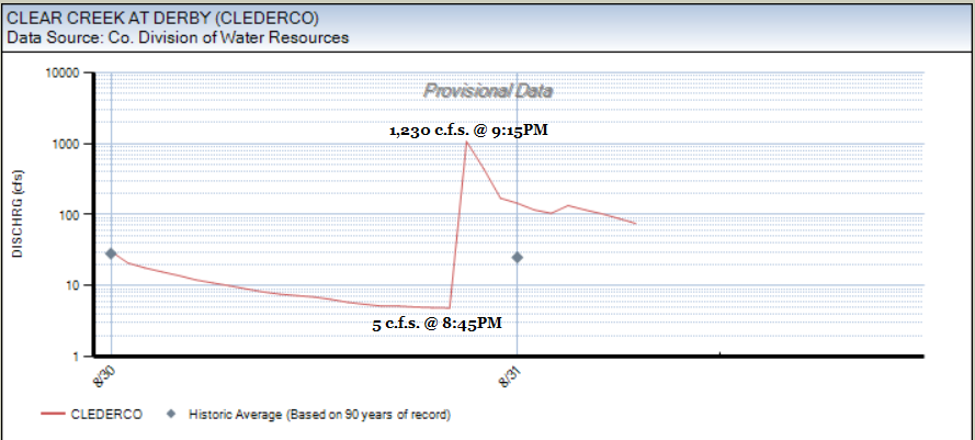
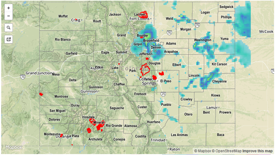
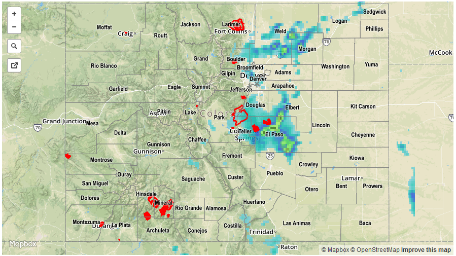
Thursday represented a transitional day for weather across Colorado. A veteran decaying disturbance gave way to a ridge that dominated the eastern Plains, limiting rainfall activity. Meanwhile, a large-scale trough approached from the west, along with a strong subtropical jet anchoring its southern periphery. The result was scattered to widespread shower and thunderstorm activity mainly west of the Continental Divide. However, instability was limited so rain rates were generally of light to moderate intensity. Highest short-term rainfall likely occurred in the southern parts of the state along with the higher foothills of the Palmer Ridge. Up to 1.25 inches of rainfall fell in rural parts of these area, likely in an hour or two. Farther west, 24-hour rain totals of 0.25 to 0.5 inches were common, with isolated high amounts interspersed.
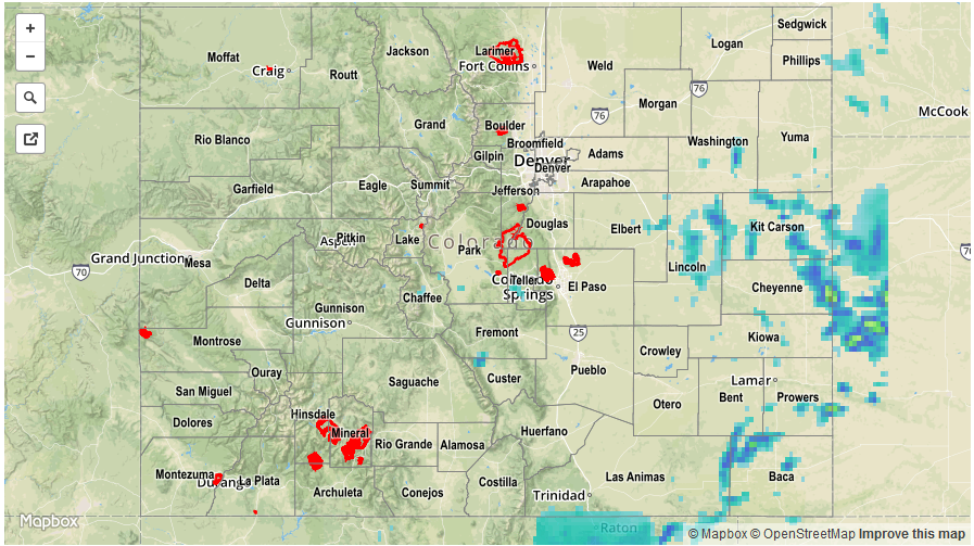
No official flooding reports were received yesterday. For rainfall estimates specific to your area, check out our Storm Total Precipitation map below.