STP 09-10-2016: Cooler and Dry Across Colorado

Issue Date: Saturday, September 10th, 2016
Issue Time: 9:00 AM MDT

Summary:

A cool front pushed across the state from the north bringing cooler conditions, but little else. There was not much moisture associated with the front, and the only “impact” it could muster was scattered clouds along/near the higher terrain of the Front Range/Southeast Mountains. Elsewhere across the state, mainly sunny skies prevailed. One isolated thunderstorm was able to develop along the New Mexico side of the Raton Ridge during the evening hours, leaving Colorado without any thunderstorm activity at all yesterday.

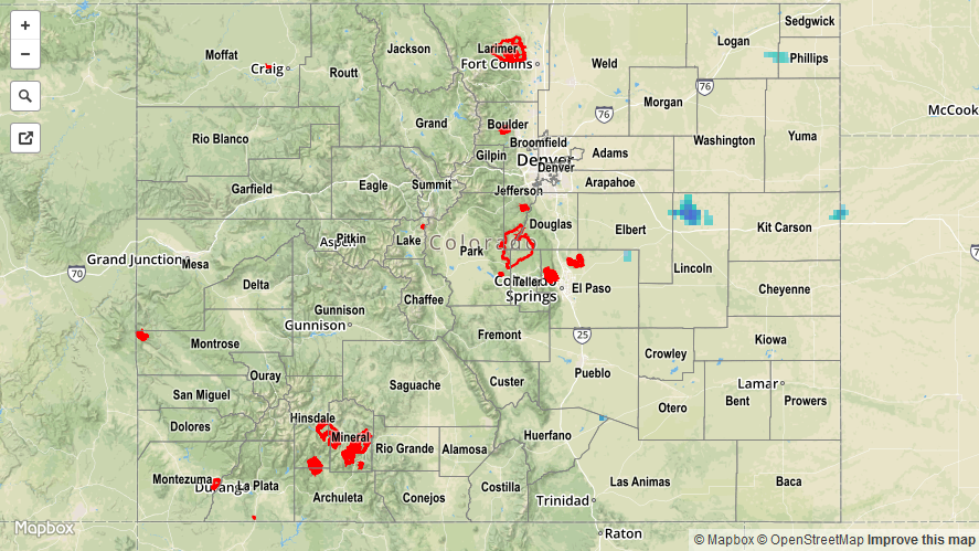
For a closer look at rainfall totals in your area, please see the STP map below for a look at 24-hour precipitation totals.


Storm Total Precip Legend

STP 09-09-2016: Mostly Sunny and Dry, Isolated Thunderstorms Near CO/KS Border

Issue Date: Friday, September 9th, 2016
Issue Time: 9:00 AM MDT

Summary:

Behind the departing trough, westerly flow overspread the state, resulting in mostly sunny and dry conditions for most. The exception to this was over the far Northeast Plains where easterly flow fought back against the westerly winds. Not only did this result in surface convergence, which acted as a trigger for isolated thunderstorms, but it also allowed for moisture to maintain a foothold in the far eastern portion of the state. Isolated activity was able to tap into this moisture, producing brief periods of moderate-to-heavy rainfall. No flash flooding or severe weather was reported.

For a statewide look at 24-hour precipitation totals, please take a look at the Storm Total Precipitation map below.

20160909_stpimage
Storm Total Precip Legend

STP 09-08-2016: Mainly Dry with a Mix of Sun and Clouds

Issue Date: Thursday, September 8th, 2016
Issue Time: 9:00 AM MDT

Summary:

As the upper-trough pushed eastward, westerly flow aloft overspread the state from the west, acting to keep the moisture plume from former-Hurricane Newton at bay. The mid-level moisture did, however, create a mix of sun and clouds for Colorado, with most areas experiencing completely dry conditions. Westerly flow in the low-levels also fought against upslope flow from the east, resulting in a dry line across eastern Colorado. A couple showers/weak thunderstorms percolated during the evening and into the overnight hours due, in part, to weak support aloft. Generally speaking, rainfall totals from any activity was fairly minimal, with rain rates on the light-to-moderate end of the scale.

For a statewide look at 24-hour precipitation totals, please take a look at the Storm Total Precipitation map below.

20160908_stpimage
Storm Total Precip Legend

STP 09-07-2016: Continued Southeasterly and Upslope Flows Bring Additional Storms

Issue Date: Wednesday, September 7, 2016
Issue Time: 9:00 AM MDT

Summary:

Yesterday was an active day in the Southeast Plains and the Raton Ridge as moisture continued to be drawn into the region along with the moist southwesterly flow from Hurricane Newton. Scattered thunderstorms began to pop up and move into the region just prior to 2:00 PM MDT with heavy rainfall and strong winds reported in some locations; a wind gust of 76 mph was observed in Prowers County. Easterly upslope flow caused smaller isolated thunderstorms to form along the Urban Corridor and move into the Northeast Plains and Palmer Ridge in the late afternoon. Weather remained sunny and dry throughout the High Country and Western Slopes.

No flash flooding occurred yesterday.

Significant rainfall totals, according to CoCoRaHS observers (reports as of 7 AM MDT), are given below:

Prowers County: 0.90 inches
Baca County: 0.83 inches
Otero County: 0.59 inches
Kiowa Country: 0.29 inches
Cheyenne Country: 0.09 inches

For a statewide look at 24-hour precipitation totals, please take a look at the Storm Total Precipitation map below.

20160907_stpimage
Storm Total Precip Legend