Issue Date: 5/4/2017
Issue Time: 10:10 AM MDT
Summary:
Gradual clearing was experienced behind the exiting disturbance, but not before it could provide beneficial rainfall to eastern Colorado. Rain rates were light, but consistent enough to produce nearly a quarter-inch of rainfall in a few locations. The clouds and showers cleared from eastern Colorado during the late evening hours, with mostly clear conditions experienced overnight.
According to CoCoRaHS observers, the big winners from yesterday’s rainfall include:
Arapahoe County: 0.28 inches
Douglas County: 0.23 inches
Denver County: 0.23 inches
Jefferson County: 0.23 inches
Broomfield County: 0.19 inches
Elbert County: 0.19 inches
For a statewide look at 24-hour precipitation totals, please take a look at the Storm Total Precipitation map below.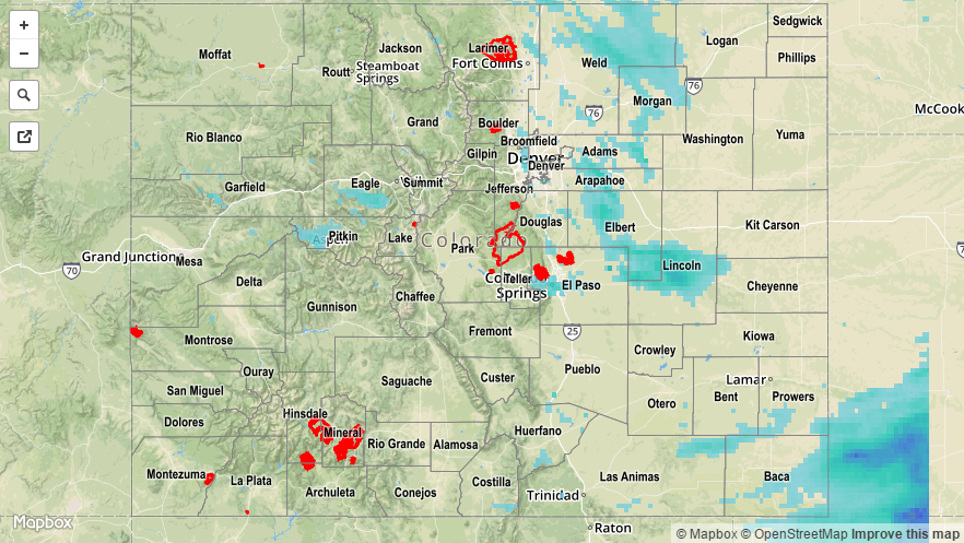
![]()