Issue Date: 5/3/2017
Issue Time: 10:22 AM MDT
Summary:
A strong disturbance moved into Colorado on Tuesday, generating light to moderate rain showers and snow showers for the higher elevations. Cloud cover kept temperatures below seasonal normal, and also limited the amount of instability available for thunderstorm development. Nonetheless a few scattered rumbles of thunder were heard across the state into the afternoon, evening and overnight hours. Fast storm motion limited rainfall amounts, but widespread accumulation of 0.25 to 0.5 inches was common across the state, mainly east of the Continental Divide.
Above about 7,000 feet, snow mixed with the rain (with all snow above 9,000 feet). A few inches of snowfall was reported in the higher elevations of Boulder, Gunnison, Lake, Summit, Park and Larimer counties.
For precipitation estimates in your area, check out our Precipitation Map below.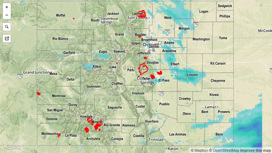
![]()