Issue Date: Tuesday, May 16th, 2017
Issue Time: 10:10 AM MDT
Summary:
Warm, southwest flow aloft continued across Colorado yesterday, which allowed temperatures to climb well above the previous day’s readings. A couple showers/thunderstorms developed over the high country, as well as along a dryline across the far eastern plains. The activity over the high country resulted in more gusty winds than anything else, as most precipitation reports from CoCoRaHS showed generally a trace-0.2 inches. One storm outperformed the rest in the region, though, producing nearly a quarter inch of rain in Larimer County.
Out east over the far eastern plains, a few severe storms fired off of the dryline, and produced large hail, strong winds, and brief periods of moderate rainfall. The highest precipitation report, according to CoCoRaHS observers, came from Kiowa County where 0.35 inches of rain was reported.
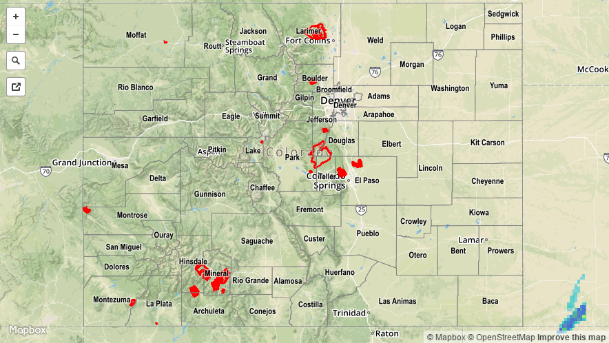
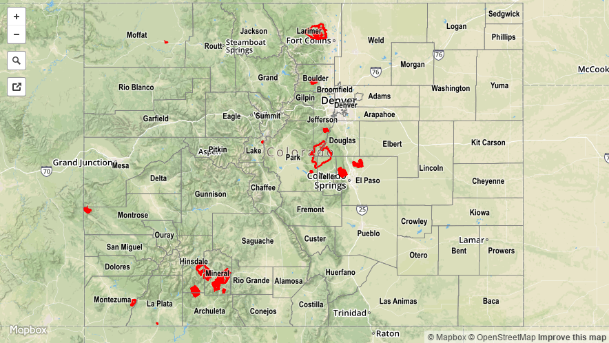
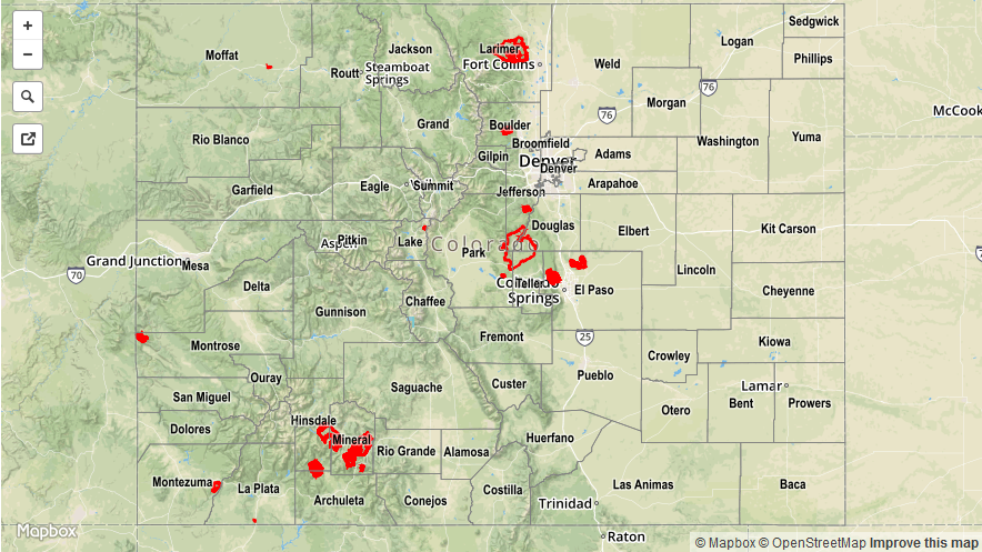
For a statewide look at 24-hour precipitation totals, please take a look at the Storm Total Precipitation map below. No flash flooding was observed or reported yesterday.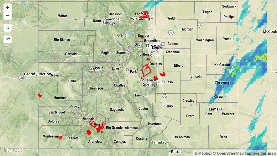
![]()