Issue Date: Sunday, May 14th, 2017
Issue Time: 10:10 AM MDT
Summary:
The upper-level ridge axis was positioned to the east of Colorado yesterday, with southwest flow aloft returning to the region. Embedded within that southwesterly flow was a weak disturbance, which acted as a trigger for a few showers/weak thunderstorms yesterday afternoon/evening. The activity was mainly confined to the Central Mountains, Northern Mountains, Front Range, and Northwest Slope, with a few showers drifting over adjacent lower elevations. With limited moisture in place, any activity produced very little rain. The main impact was gusty outflow winds.
No flash flooding was reported yesterday. Please see the STP map below for a look at precipitation totals from the last 24 hours.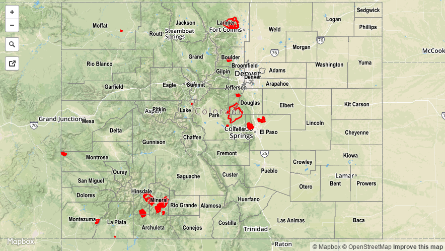
![]()