STP 06-21-2017: Very Hot With Scattered PM Storms

Issue Date: Wednesday, June 21st, 2017
Issue Time: 11AM MDT

Summary:

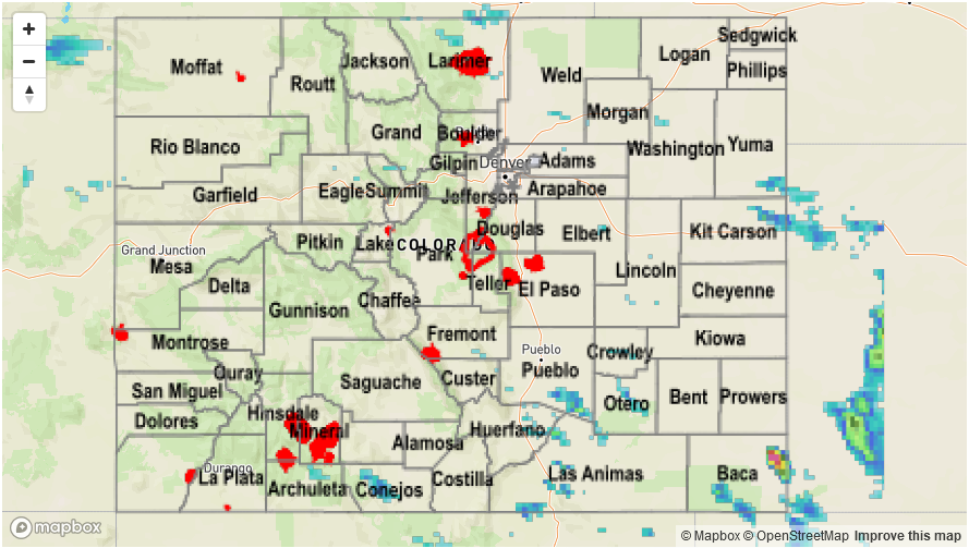
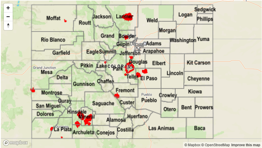
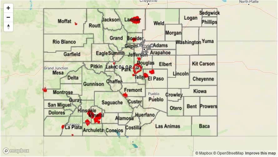
Mother nature decided to celebrate the incoming summer solstice with two summer staples: heat and heavy rainfall. Temperatures across the state were 10-15F above normal with 100F or higher temperatures for elevations as high as 5,500 feet. Even higher elevation locations such as Copper Mountain made it to 70F. Meanwhile, a convergence boundary in the far southeast part of the state allowed for the development of several strong to severe thunderstorms in Baca County. These slow moving storms were responsible for a few large hail reports. Most of the heavy rainfall fell between gauged locations, but radar based estimates suggest over 2 inches for isolated parts of the county.

Elsewhere, scattered shower and storm activity was more of the garden variety type with a few tenths of rainfall over northern areas and perhaps up to 1 inch in mainly rural parts of the Raton Ridge and Southeast Mountains.

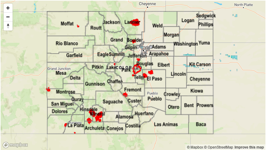
A Flood Advisory was issued for the Baca County storm yesterday afternoon; however, flooding was not reported as of this morning. For rainfall estimates in your area, check out the State Precipitation Map below.

Storm Total Precip Legend

STP 06-20-2017: Under The Ridge, Day 1

Issue Date: Tuesday, June 20th, 2017
Issue Time: 9:45AM MDT

Summary:

A high pressure ridge gained strength through the day on Monday, beginning a 48-72 hour period of hot weather. With a cool start, it took a while for temperatures to heat up, and afternoon highs were a few degrees below their forecast values. Nonetheless, many lower elevation locations on either side of the Continental Divide topped 90F, which is above normal for mid-June.

Meanwhile, although most of the snowpack is now only a memory, the lagged response from melt to river flows was on display for a few higher elevation areas. The Roaring Fork River and Arkansas River were both above their “Action” stage levels due to the antecedent snow melt. However, both rivers stayed below “Minor” flood stage and are expected to do so before subsiding over the next 24-48 hours.

Neither flooding nor precipitation was not reported on Monday.

Storm Total Precip Legend

STP 06-19-2017: Splendid Father’s Day Sunday

Issue Date: Monday, June 19th, 2017
Issue Time: 10AM MDT

Summary:

Warm, mainly dry weather continued across Colorado on Father’s Day Sunday. Temperatures were up to 10F above normal for this time of year especially west of the Continental Divide, where plenty of sunshine quickly warmed up the surface. To the east, higher moisture was present through the entire depth of the atmosphere causing a few clouds to form in the afternoon. However, precipitation was largely absent except for a few isolated locations near the Sangre de Cristo mountains and San Luis Valley where a few hundredths of an inch of rain fell.

A look at the state’s snowpack this morning shows that almost all basins are now complete snow-free (at least at the SNOTEL sites). The timing is right on par with the long-term climatology despite above normal conditions just a few weeks ago.

Flooding was not reported on Sunday. Check out the Precipitation Map below for rainfall estimates in your area.

Storm Total Precip Legend

STP 06-18-2017: Storms Brought Plenty Of Clouds, But Raindrops Were A Commodity

Issue Date: Sunday, June 18th, 2017
Issue Time: 9:35AM MDT

Summary:

A cool front of Pacific Ocean origin moved across eastern Colorado on Saturday, being aided by a slight southward dip in the strong jet stream overhead. With some mid and upper-level dynamics in place, clouds were in abundance, though mainly east of the Continental Divide. However, rainfall was a different story. With maximum jet stream speeds exceeding 100mph and cloud steering winds approaching 50mph, there was simply too much shear to support any organized storm activity. The result was quick moving showers and weak storms that produced up to a tenth or two of an inch for lucky locations in the Northeast Plains.

West of the Continental Divide, the Dead Dog fire in Rio Blanco County is approaching 100% containment. However, a new fire, named Mack Shaft (#MackShaft on Twitter), developed along the Colorado/Utah border. We will continue to keep track of this to ensure that the latest burn area is accurately captured in time for the upcoming monsoon rainfall.

Flooding was not reported on Saturday. Check out the Precipitation Map below for rainfall estimates in your area.

Storm Total Precip Legend