Issue Date: Sunday, June 18th, 2017
Issue Time: 9:35AM MDT
Summary:
A cool front of Pacific Ocean origin moved across eastern Colorado on Saturday, being aided by a slight southward dip in the strong jet stream overhead. With some mid and upper-level dynamics in place, clouds were in abundance, though mainly east of the Continental Divide. However, rainfall was a different story. With maximum jet stream speeds exceeding 100mph and cloud steering winds approaching 50mph, there was simply too much shear to support any organized storm activity. The result was quick moving showers and weak storms that produced up to a tenth or two of an inch for lucky locations in the Northeast Plains.
West of the Continental Divide, the Dead Dog fire in Rio Blanco County is approaching 100% containment. However, a new fire, named Mack Shaft (#MackShaft on Twitter), developed along the Colorado/Utah border. We will continue to keep track of this to ensure that the latest burn area is accurately captured in time for the upcoming monsoon rainfall.
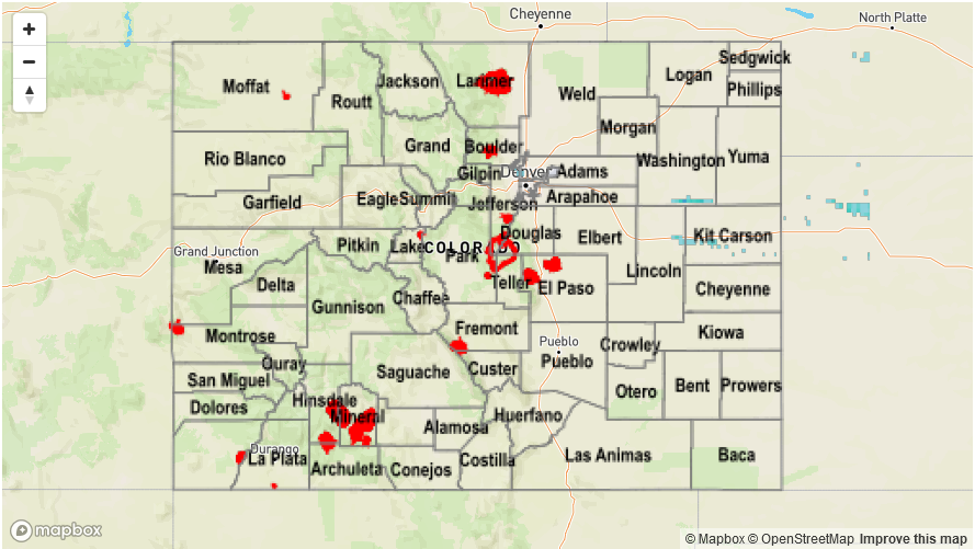
Flooding was not reported on Saturday. Check out the Precipitation Map below for rainfall estimates in your area.