Issue Date: Monday, July 3, 2017
Issue Time: 10:10 AM MDT
Summary:
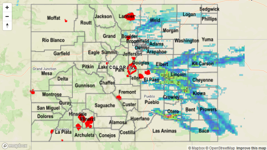
Upslope flow helped trigger thunderstorm formation over the Palmer Divide and mountains again yesterday afternoon. The “Inverted-V” atmospheric profile amplified gusty outflow winds from the thunderstorms. The Fort Carson ASOS recorded a 66 mph wind gust outside Colorado Springs at 3 PM yesterday. In Brighton, a dry microburst knocked down power lines and caused a small grass fire at 3:40 PM. Over the San Juan Mountains, a 51 mph wind gust from a thunderstorm was recorded at the Telluride Regional Airport.
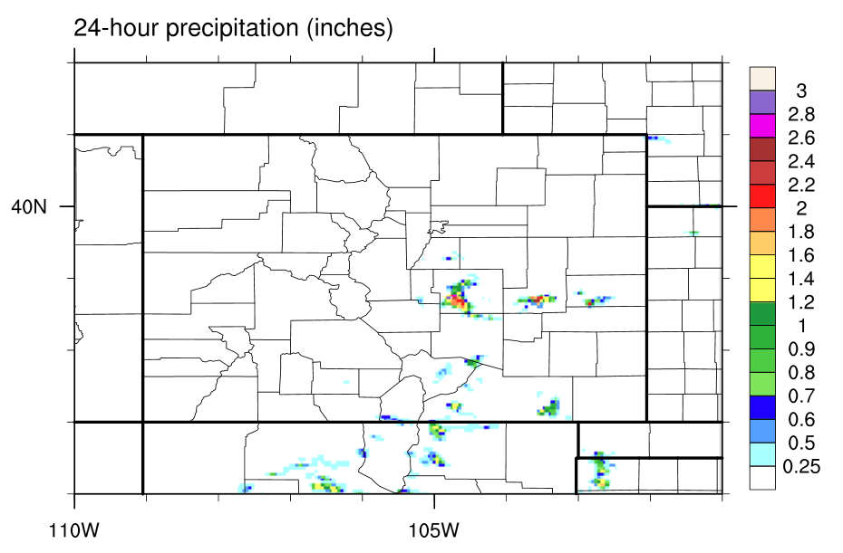
Strong westerly flow helped mix out moisture at the surface yesterday limiting rainfall totals. The storms that did form were over rural areas without rain gauges. Radar estimates were between 2.0-2.2 inches in the storm cores.
Flooding was not reported on Sunday. Please see the STP map below for a look at precipitation totals from the last 24 hours.