Issue Date: Sunday, July 2nd, 2017
Issue Time: 10:10 AM MDT
Summary:
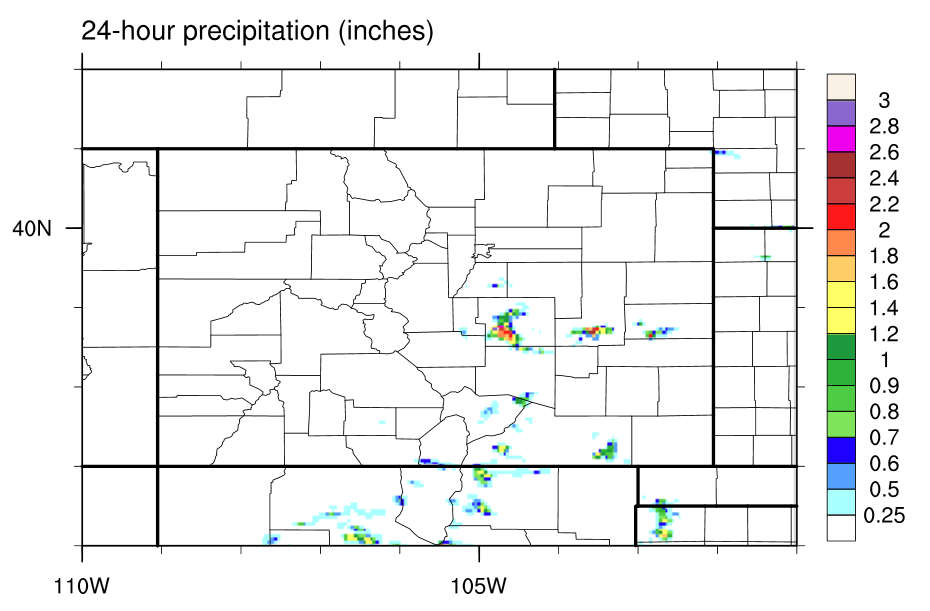
Most of the state remained under the control of an overpowering warm, subsident airmass, which kept skies mainly blue and free of precipitation. Southern Colorado, however, was the exception to the rule, with isolated thunderstorms kicked off by the combination of strong daytime heating and orographic effects. Most showers/storms that did develop resulted in mainly light rainfall accumulations and gusty winds, but as often happens in setups like this, El Paso, Pueblo, and Lincoln counties had thunderstorms “overachieve.” An outflow boundary from thunderstorms further to the south enhanced moisture and surface convergence in those areas, sparking a couple strong thunderstorms during the later evening hours. From those thunderstorms, a couple storm reports were submitted to the NWS office in Pueblo:
4 miles north of the Peterson AFB: 1.1 inches of rain/20 minutes
3 miles southwest of the Peterson AFB: 0.75 inch hail
7 miles southwest of Karval: 1.25 inch hail
No flooding was reported yesterday. Please see the STP map below for a look at precipitation totals from the last 24 hours.