Issue Date: Friday, June 8, 2018
Issue Time: 09:20AM MDT
Summary:
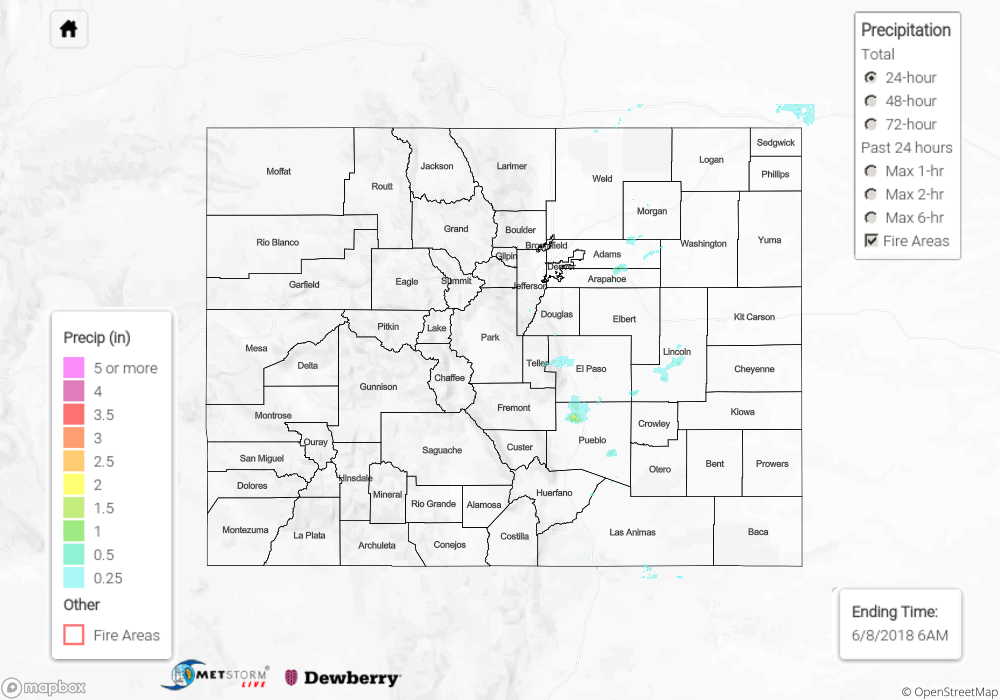
Quiet weather day across Colorado with the exception of a few isolated thunderstorms over the Palmer Ridge in the afternoon. Dry southwest flow limited moisture availability for all storms that formed yesterday, and they were outflow dominant. Most storms that fired over the mountains quickly evaporated in the dry air. As expected the temperature/dew point spread produced gusty winds and limited rainfall for the storms that were able to move into the adjacent plains. The ASOS station at Colorado Springs airport reported a gust of 32 mph with radar rainfall estimates up to 0.5 inches in the area. The largest rainfall total from yesterday was near Pueblo where radar rainfall was estimated to be around 1 inch. Thunderstorms attempted to move into the far eastern plains, but they were not able to quite make it to the unstable environment before sundown. All storm action ended by 9:30PM on Thursday.
Flooding was not reported on Thursday. For rainfall estimates over your area, scroll down to the State Precipitation Map below.
Click Here For Map Overview
Note: We have identified a possible underestimation in QPE over the southwest part of the state. We are working to on this issue, and will provide an update as soon as possible.