Issue Date: Tuesday, June 5, 2018
Issue Time: 10:50AM MDT
Summary:
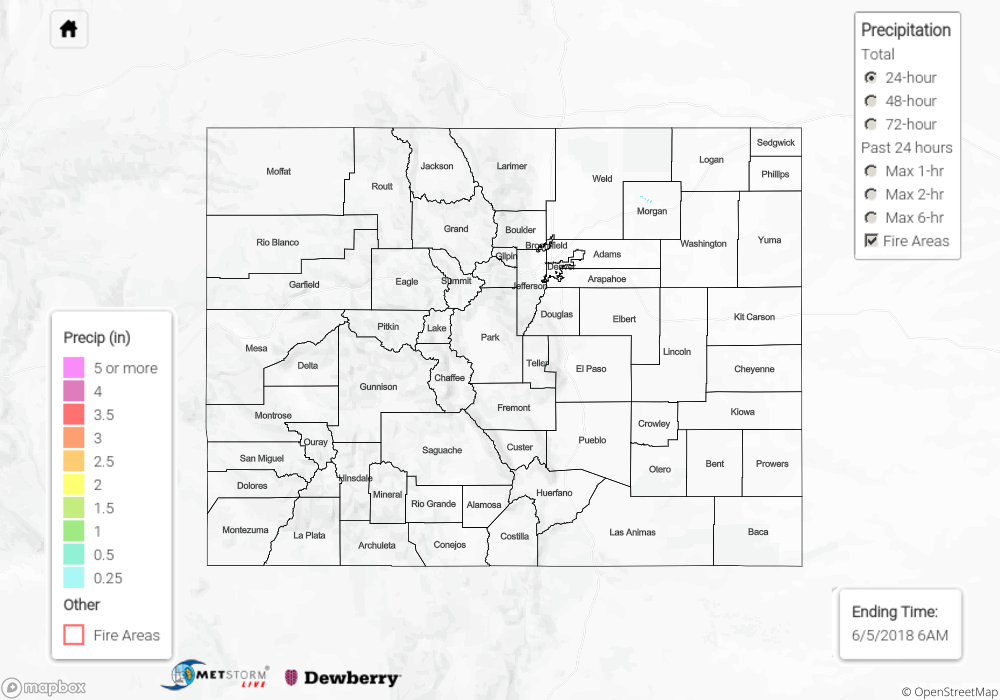
The heat returned yesterday in Colorado, with the winds shifting to a more southwesterly direction as the large upper atmosphere ridge that will bring dry and hot weather for the entire week began to move over the area. Clouds increased throughout the day along the Front Range, Urban Corridor, and across the eastern plains. Plenty of virga could be seen in the late afternoon, as well as gusty winds within the outflow of nearby thunderstorms. Throughout the state, there were very few gauges that recorded measurable rainfall. Oddly, the area with most of these gauges was in and around the San Luis Valley, which is climatologically one of the driest regions in Colorado. Here, afternoon thunderstorms had just enough strength to drop small amounts of rainfall. No flooding was reported yesterday.
Click Here For Map Overview
Note: We have identified a possible underestimation in QPE over the southwest part of the state. We are working to on this issue, and will provide an update as soon as possible.