Issue Date: Monday, September 30th, 2019
Issue Time: 9:50AM MDT
NOTE: This is the last scheduled State Precipitation Map of the 2019 season. It has been a pleasure to serve you! The next Flood Threat Bulletin season begins on May 1, 2020.
Summary:
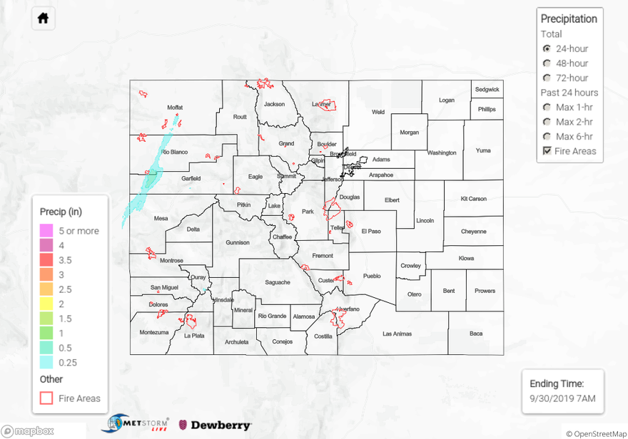
The upper pattern remained the same from Saturday, but a strengthening low caused faster (southwest) surface winds over western Colorado with the tightening pressure gradient. This caused fire weather to return and placed a large area of the state under a Red Flag Warning due to fast winds paired with low relative humidity values. As winds mixed down to the surface, gusts between 45 and 65 mph were recorded. The highest gust was recorded at Garfield County airport (66 mph). There was some light rainfall over the Northwest Slope last night as higher PW values pushed into the area and combined with an upper level jet in favorable position for lift. Max 1-hour rain rates were under 0.25 inches, but totals up to 0.5 inches were estimated by MetStorm. A RAWS site near Dinosaur National Monument recorded 0.2 inches, which was the highest observation for the day.
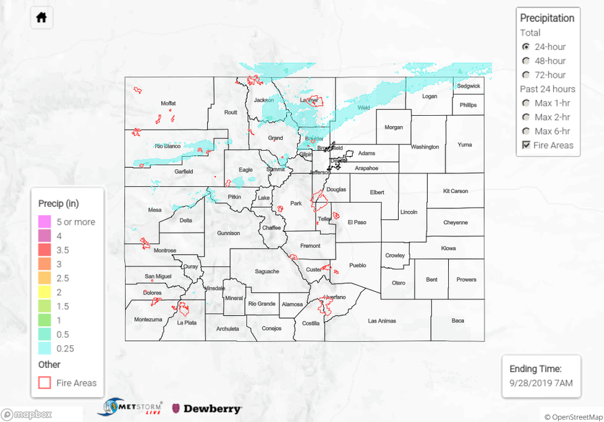
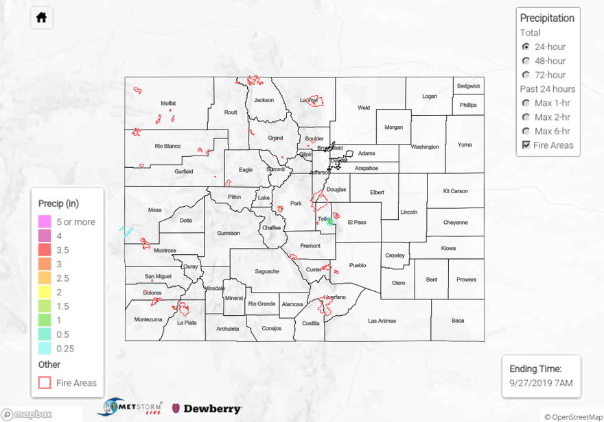
Flooding was not reported on Sunday. To see estimated precipitation totals over your neighborhood the last couple of days, scroll down to the State Precipitation Map below.
Click Here For Map Overview