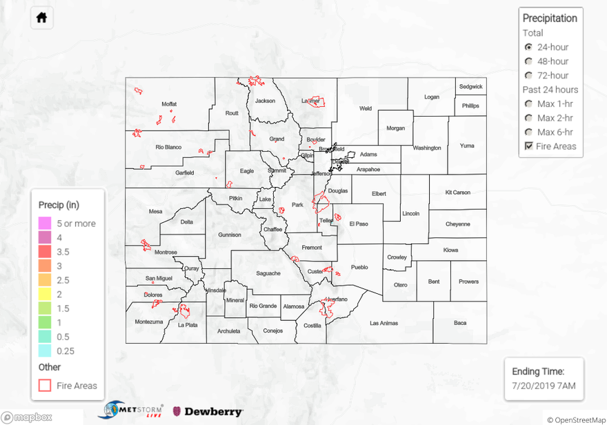
Issue date: Saturday, July 20th, 2019
Issue time: 10:50AM MDT
Summary:
Another day of hot and dry weather over Colorado yesterday, as dry air continued to move in from the west and southwest. Moisture did however increase throughout the afternoon and last night as flow shifted to the south, bringing in moisture from the Baja Peninsula. Brief, very light showers occurred over the far Southeast Plains around midnight last night, with radar deriving up to under 0.1 inches over Baca, Bent and Prowers Counties as a shortwave clipped the area. The main story yesterday was the hot weather, high temperatures were measured in the 100°Fs all across the eastern plains, with a recording of 111°F at Lamar Municipal Airport in Prowers County. The Red Flag Warning over western and norther Colorado has been lifted as moisture moved into the area last night.
For a look at precipitation over your area (72-hours ago), please visit the State Precipitation Map below. Note the rainfall over the far Southeast corner is not shown because totals were under 0.25 inches.
Click Here For Map Overview
