SPM 07-19-2019: Rain Free Day with Sizzling Hot Temperatures

Issue Date: Friday, July 19th, 2019
Issue Time: 9:15AM MDT

Summary:

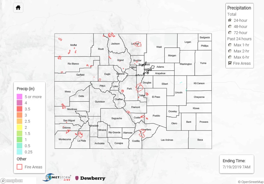
With a high over Arizona and upper level flow from the west, conditions over Colorado yesterday were hot and dry. There was no measurable rain recorded anywhere over the state. The main weather stories yesterday were the hot temperatures and gusty winds. A Red Flag Warning was issued for another day over western Colorado. As far as wildfires, it has been quiet so far thanks to the high winter snowpack and wet spring. The Doe Canyon Fire burned ~2,500 acres near Dove Creek, CO. According to InciWeb, this fire is now 100% contained. Snowpack continues to melt at the highest elevations keeping rivers running high (for this point in the season), but no flooding is being reported with the peak in streamflow behind us.

To see estimated precipitation totals over the last 72-hours, scroll down the State Precipitation Map below.

Click Here For Map Overview

The map below shows radar-estimated, rainfall gage-adjusted Quantitative Precipitation Estimates (QPE) across Colorado. The map is updated daily during the operational season (May 1 – Sep 30) by 11AM. The following six layers are currently available: 24-hour, 48-hour and 72-hour total precipitation, as well as maximum 1-hour, 2-hour and 6-hour precipitation over the past 24 hour period (to estimate where flash flooding may have occurred). The 24-hour, 48-hour and 72-hour total precipitation contain bias corrections that are not disaggregated into the hourly estimates, so there will likely be some differences. The accumulation ending time is 7AM of the date shown in the bottom right corner. Also shown optionally are vulnerable fire burn areas (post 2012), which are updated throughout the season to include new, vulnerable burn areas. The home button in the top left corner resets the map to the original zoom.