Issue date: Thursday, July 18, 2019
Issue Time: 9:35AM MDT
Summary:
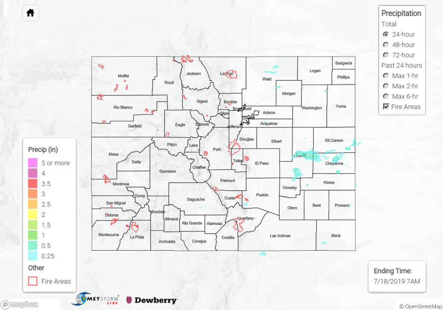
Convergence along the dryline over the eastern plains produced moderate thunderstorms over the Palmer Ridge and Northeast Plains yesterday afternoon. Radar derived up to 1 inch of rain over Lincoln, Kit Carson and Cheyenne Counties. A surface report from a CWOP station near Hugo in Lincoln county reported the highest accumulation for the day, measuring 0.46 inches. Weak upslope flow over the foothills provided afternoon showers over the Urban Corridor, extending south into Pueblo County. Dry air and quick mid to upper level winds weakened chances for thunderstorms over the area by preventing deep cloud development. CoCoRaHS stations recorded less than 0.16 inches of rain over the area. Storms developed over the eastern San Juan Mountains and drifted over the San Luis Valley, with surface reports of up to 0.12 inches. High temperatures increased from Tuesday’s values, with reports of 106°F over Lamar in Prowers County.
For a look at precipitation over your area, please visit the State Precipitation Map below.
Click Here For Map Overview