Issue date: Saturday, July 13, 2019
Issue time: 10:40AM MDT
Summary:
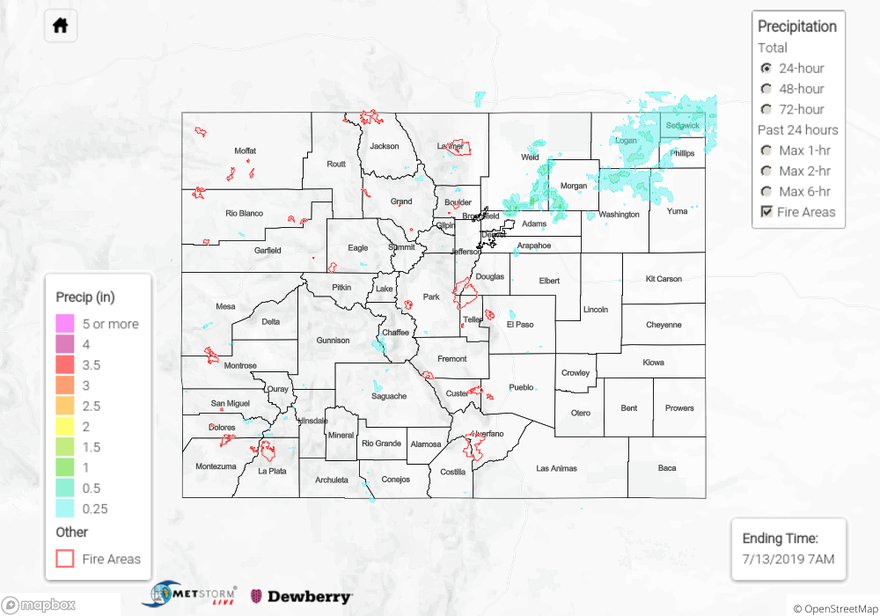
Widespread rainfall returned to the state yesterday as midlevel moisture returned to the area. A cold front dropped in from the north midday causing enhanced convergence along the Palmer Ridge. A line of moderate to severe thunderstorms formed over the Northeast Plains along the boundary and traveled slowly to the northeast. CoCoRaHS stations near Keensburg in southern Weld County reported 0.65 and 0.51 inches. An Areal Flood Advisory was issued over the area but there were no reports of flooding. Radar derived rainfall of up to 1 inch along I-76 from Brighton to the Nebraska border. Hail of 1 inch diameter was reported to the NWS near Julesburg in Sedgwick County. Dry air below the cloud bases produced gusty winds over the south Urban Corridor, with a report to NWS of 60 mph wind gusts near Colorado Springs Airport. Precipitation over the high country remained light, with most CoCoRaHS stations reporting less than 0.15 inches. A flash flood warning was issued over the Hayden Pass burn area at 4pm with radar deriving 0.5 inches of rain over an hour, but there were no reports of flash flooding.
For a closer look at precipitation over your area, please view the State Precipitation Map below.
Click Here For Map Overview