Issue Date: 6/24/2015
Issue Time: 8:55AM
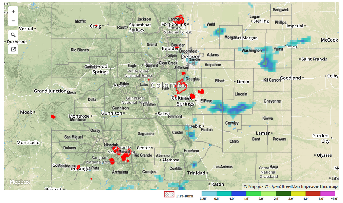
Though conditions were not optimal for their development, thunderstorms took full advantage of the high moisture content in the low levels of the atmosphere on Tuesday. Storms formed mainly east of the Divide by mid-afternoon, and progressed farther eastward towards the late evening hours. As expected, most thunderstorm rainfall was quite light, generally 0.25 inches or less. However, a few storms were able to reach maturity and produce over 1 inch of rainfall. This was observed for several separate thunderstorms, covering Washington, Lincoln and Las Animas counties.
In addition to the rainfall, many storms produced hail. Most of the hail was pea-size to penny-size but one particularly strong cell in eastern El Paso County produced 1 inch hail.
Meanwhile, river levels continued to slowly subside as the snowpack is virtually all gone, except in deeply forested areas.
No flash flooding was reported yesterday. For estimated rainfall in your area, be sure to check out the rainfall map below.