Issue date: Thursday, July 11, 2019
Issue Time: 9:45 AM MDT
Summary:
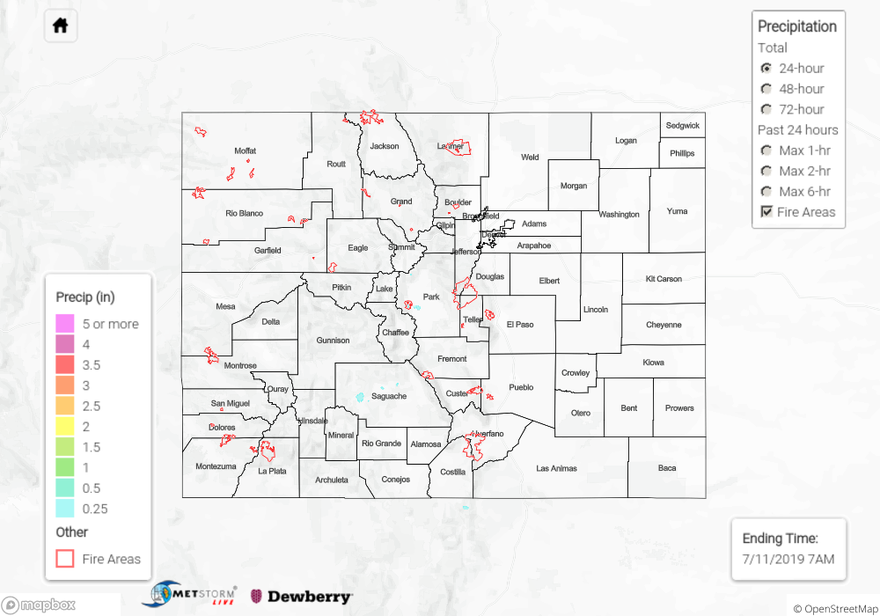
Isolated weak thunderstorms formed over the San Juan Mountains and Central Mountains yesterday afternoon as a vorticity maximum formed over the area. Slow upper level winds and large scale subsidence underneath the high pressure ridge prevented the storms from moving over the eastern plains. Radar derived rainfall of up to 0.25 inches over the regions above. CWOP stations near Fairplay in Park County and Trinidad in Las Animas County measured 0.13 and 0.05 inches respectively. Many surface stations underneath areas of radar measured rainfall didn’t report rain, meaning that dry air underneath the storm base likely evaporated the precipitation prior to it reaching the surface. Passage of the cold front over the eastern plains, kept high temperatures in the upper 80°Fs yesterday, but clear skies and advection of hot, dry air from the west southwest allowed highs to reach 98°F over the Grand Valley.
The AHPS gage on the Arkansas River near La Junta retreated below Action stage rapidly by noon yesterday morning. The gage on the Rio Grande River near Alamosa remains at Action stage. There were no reports of flooding yesterday.
For a look at precipitation in your area, please check out our State Precipitation Map below.
Click Here For Map Overview