Issue Date: Wednesday, July 10, 2019
Issue Time: 10AM MDT
Summary:
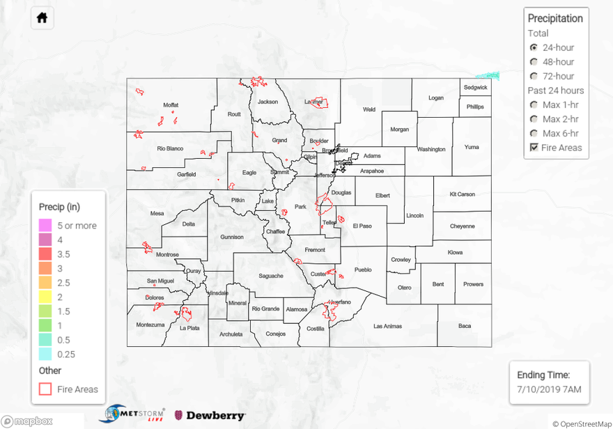
Things really dried out yesterday as high pressure set in over the area. West of the Continental Divide maximum relative humidity stayed below 50% over most areas. High temperatures approached 100°F in the Arkansas River Valley over the Southeast Plains, with temperatures in the low 90°Fs over most of the eastern plains. Highs were measured in the 60°Fs and 70°Fs over the high country, with a high of 94°Fs near Grand Junction. An isolated thunderstorm passed over the far northeast corner of the state around 11PM yesterday as a cold front made its way south over the area. A CoCoRaHS station near Julesburg in Sedgwick County measured 0.5 inches of rain. Two additional CoCoRaHS stations picked up marginal rain yesterday in Teller and Chaffee Counties, measuring 0.01 and 0.02 inches respectively.
Flooding was not reported on Tuesday. The AHPS gage bellow Dillon retreated below Action stage mid-morning yesterday and the Flood Advisory for the Roaring Fork River near Aspen was cancelled at 11:30AM as waters retreated below bankfull. The gages on the Arkansas River near La Junta and the Rio Grande near Alamosa remain at Action State due to dam releases.
For rainfall estimates in your area, check out our State Precipitation Map below.
Click Here For Map Overview