Issue Date: 6/29/2019
Issue Time: 7:52 AM
NO FLOOD THREAT IS FORECAST TODAY.
Another hot day is in store across Colorado, although high temperatures will be trimmed a degree or two compared to yesterday thanks to increased cloud cover this afternoon. This cloud cover will be generated by scattered afternoon/evening showers and thunderstorms; the activity will get its start over the higher terrain by 11 AM – 1 PM before working east over the lower elevations by 1 PM – 3 PM. The moisture fueling this activity is situated mainly in the mid-levels of the atmosphere, so the main impacts will be light rainfall and gusty outflow winds up to 40-50 MPH. A couple stronger storms east of the mountains will produce a bit heavier rain later in the evening as outflow from previous thunderstorms increases low-level moisture a bit, but not enough to warrant any flood threat issuance. Instead, this brief heavier rainfall will likely produce some street/field ponding, and not much more.
Since the showers and thunderstorms will be driven mainly by daytime heating, expect activity to begin winding down after 8-9 PM. A few showers/weak thunderstorms will linger over the higher terrain into the morning hours tomorrow as the next bout of moisture from the southwest begins to move into the region. For more details on timing and rain rates, please see the zone-specific forecasts below.
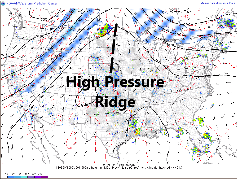
Today’s Flood Threat Map
For more information on today’s flood threat, see the map below. For Zone-Specific forecasts, jump below the map.


Zone-Specific Forecasts
Urban Corridor, Northeast Plains, Southeast Plains, Palmer Ridge, and Raton Ridge:
Hot temperatures will be widespread, albeit a degree or two cooler than yesterday thanks to a few more clouds this afternoon. Scattered thunderstorms will move off the mountains and over adjacent lower elevations between 1 and 3 PM. Due to fairly dry lower-levels, thunderstorms will produce more gusty outflow winds than rain, and these gusty outflow winds will help storms to develop further east over the plains with time. Most rain rates will be less than 0.2 inches/hour, with a couple stronger thunderstorms capable of rainfall up to 0.4 inches/hour. Thunderstorm wind gusts up to 55 mph will be possible.
Timing: 1 PM – 10 PM, with a few isolated thunderstorms lingering until Midnight
Front Range, Northern Mountains, Northwest Slope, Grand Valley, Central Mountains, Southeast Mountains, San Luis Valley, San Juan Mountains, and Southwest Slope:
Summertime warmth will be broken up by scattered showers/thunderstorms this afternoon. Activity will get its start over the higher terrain by 11 AM – 1PM, spreading over lower elevations thereafter. Gusty outflow winds up to 40-50 mph and light rainfall will be the main impacts, along with occasional cloud-to-ground lightning. A few showers/weak thunderstorms will linger into the morning hours tomorrow as the next round of moisture begins to move in from the southwest. Rain rates will generally be less than 0.1 inches/hour, with thunderstorms producing rainfall up to 0.1-0.3 inches/hour.
Timing: 11 AM – 9 PM, a few lingering showers/weak storms into the morning hours tomorrow