Issue Date: Monday, June 24th, 2019
Issue Time: 10:30 AM MDT
Summary:
The upper level trough that produced plentiful, statewide precipitation the last three days moved east of the state late last night, but not before producing some rainfall yesterday. Throughout the day yesterday, skies gradually cleared and brought sunshine to many areas. However, in the wake of the trough temperatures remained well below average throughout the state. Grand Junction measured a new record low temperature of 41°F, which is 5°F lower than the previous record low of 46°F. Denver was 1°F off from tying the previous record low of 43°F, but the measured high of 65°F was a 20°F departure from average.
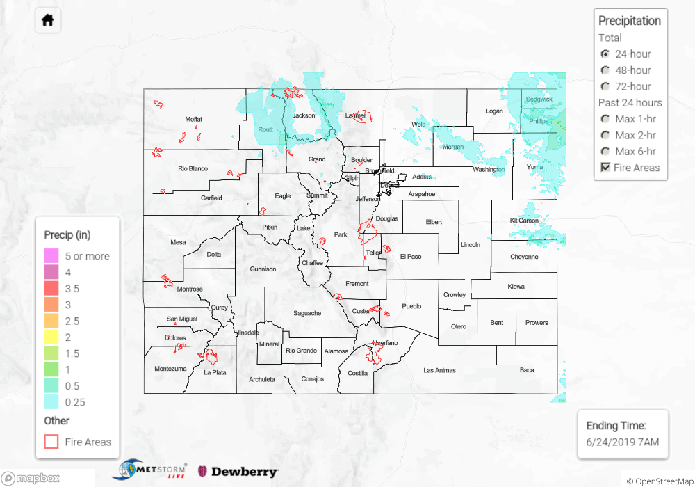
As for precipitation, high elevation snow tapered off over the Front Range, Northern and Central Mountains, with CoCoRaHS stations measuring less than 0.5 inches. Rain was confined to the northern half of Colorado with dry air over the south. Precipitation over the high country was primarily in the morning, although there were some scattered showers in the afternoon and trailing into the night over the Front Range. Routt County had the highest high country accumulation of the day with 0.56 inches, while most of the mountains reported less than 0.3 inches. Precipitation over the northern Urban Corridor and eastern Palmer Ridge began around noon, with accumulations increasing to the east where dew points were a little higher. The Northeast Plains, as well as Weld County, had the most precipitation for the lower elevations with radar estimating totals between 0.5 and 1.0 inches. Phillips County recorded 1.09 inches at a CoCoRaHS site.
Flood Warnings remain in effect for Central Saguache County, Southeastern Conejos County, Southwestern Rio Grande County, and Mineral County this morning. Minor flood stage has been reached at AHPS gages along the North Platte River near Northgate in Jackson County, as well as the Arkansas River near Avondale. Several rural roads have been reported to be underwater due to heavy rainfall and snowmelt in Jackson County. Please visit the Flood Threat Bulletin or your local NWS office for more information on today’s flood threat. For a look at precipitation estimates in your area, please see the State Precipitation Map below.
Click Here For Map Overview