Issue Date: Wednesday, June 12th, 2019
Issue Time: 10:35AM MDT
Summary:
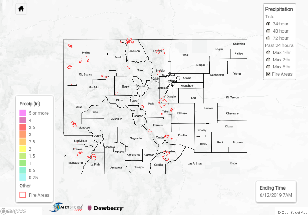
Rainfall returned yesterday to the northeast quadrant of the state on Tuesday as a cold front, aided by the left exit region of the jet stream, provided lift and moisture for the storms. CoCoRaHS stations reported 0.01-0.09 inches of rain across the Northeast Plains, and northern portions of the Front Range and Urban Corridor. Precipitation began midday and continued overnight, measuring just under 0.25 inches in Larimer, Washington and Yuma counties. Downward motion and lack of low-level moisture kept the rest of the state dry. High temperatures decreased slightly in the northern half of the state as a result of cloud cover and the passing cold front from the north. The southern half of the state saw an increase in high temperatures due to downward motion, clearing skies, and an incoming high pressure system.
Clear skies and high temperatures approaching 80°F over the valleys of the high country allowed for continued snowmelt. A Flood Warning was issued (and remains in effect) for central Sagauche County and the Rio Grande River near Del Norte. Areal Flood Advisories were issued for the following: Tomichi Creek at Gunnison, Eagle River at Red Cliff, Central Hinsdale County, Colorado River near CO-UT state line, Los Pinos River near Bayfield, San Juan River at Pagosa Springs, La Plata River at Hesperus, Green River near Jensen, Mancos River near Mancos, Animas River at Durango.
AHPS gages currently at Action or Minor Flooding Stages:
- Rio Grande near Del Norte (Minor Flooding)
- Rio Grande at Alamosa
- Mancos River near Mancos
- Navajo River near Chromo
- La Plata River above Hesperus
- Tomichi Creek at Gunnison
- Arkansas River at Salida
- Arkansas River at Wellsville
- Arkansas River at Canon City
- Arkansas River at Avondale (dropped below minor flooding overnight)
- Gunnison River near Grand Junction
Click Here For Map Overview