Issue Date: Wednesday, June 5th, 2019
Issue Time: 9:30AM MDT
Summary:
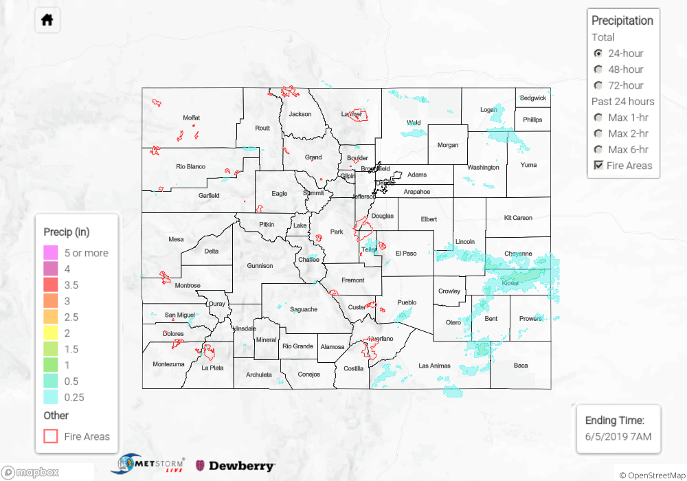
Similar setup occurred to the previous couple of days. Storms fired over the high terrains by early afternoon favoring the Front Range and Southeast Mountains for accumulation. Weak thunderstorms with small hail occurred over western Colorado with more intermittent coverage due to lower moisture. Isolated totals up to 0.25 were reported with most areas receiving under 0.1 inches of rainfall. A severe thunderstorms storm over the Palmer Ridge/Southeast Plains intersect in Lincoln County produced 1.25 inch and 0.6 inches of rainfall near Punkin Center. The Ellicott airport reported a gust of 25 mph with this storm. No flooding was reported as totals remained under 1 inch.
An Areal Flood Advisory continued for the Mancos River in Montezuma County for minor lowland flooding. A Flood Warning was issued for the San Antonio and Conejos Rivers in southeastern Conejos County through Thursday morning. Additional Areal Flood Advisories were issued for the Gunnison River above Grand Junction and the La Plata River at Hesperus. Minor flooding was not reported at any of these locations, though rivers remain at or slightly above bankfull.
To see estimated precipitation totals over your area yesterday, scroll down to the State Precipitation Map below.
Click Here For Map Overview