Issue Date: Friday, May 31st, 2019
Issue Time: 9:05AM MDT
Summary:
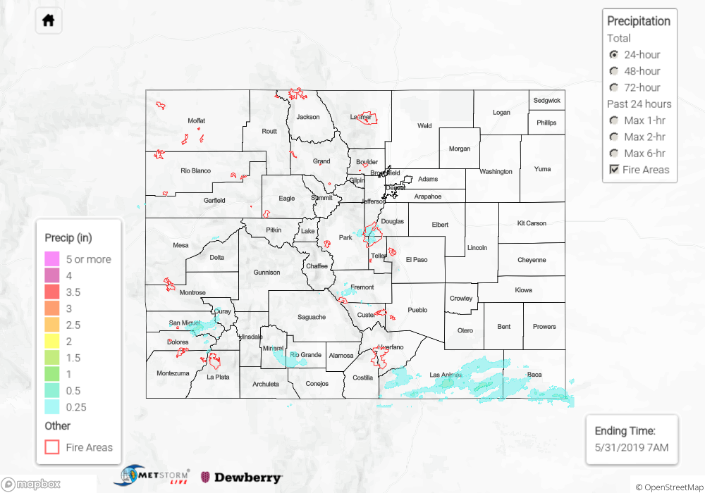
With the ridge building to the northwest, high temperatures yesterday were 5-10F warmer than Wednesday. While still a little below normal, these temperatures were very much appreciated after a cold May. Isolated showers popped up over the high terrain during the afternoon hours favoring the Front Range, San Juan and Southeast Mountains near the Divide. Just over a half inch fell in San Miguel County. Storms were able to survive along the Palmer Ridge as they moved into the adjacent plains, but storms quickly dissipated east of I-25. Radar indicates up to 0.25 inches fell (isolated) with a CoCoRaHS near Fountain reporting 0.08 inches this morning. A passing shortwave over the southern border helped spark more storm activity over the Raton Ridge and Southeast Plains. Radar estimates totals up to 1 inch with max 1-hr rain rates of 0.5 inches.
To see estimated precipitation totals over your area yesterday, scroll down to the State Precipitation Map below.
Click Here For Map Overview