Issue Date: Thursday, June 18th, 2015
Issue Time: 9:00 AM MDT
Summary:
FLOOD WARNINGS/ADVISORIES CONTINUE FOR PORTIONS OF THE CACHE LA POUDRE RIVER, SOUTH PLATTE RIVER, ARKANSAS RIVER, AND VARIOUS STREAMS AND RIVERS ACROSS WESTERN COLORADO DUE TO SNOWMELT AND RAINFALL RUNOFF.
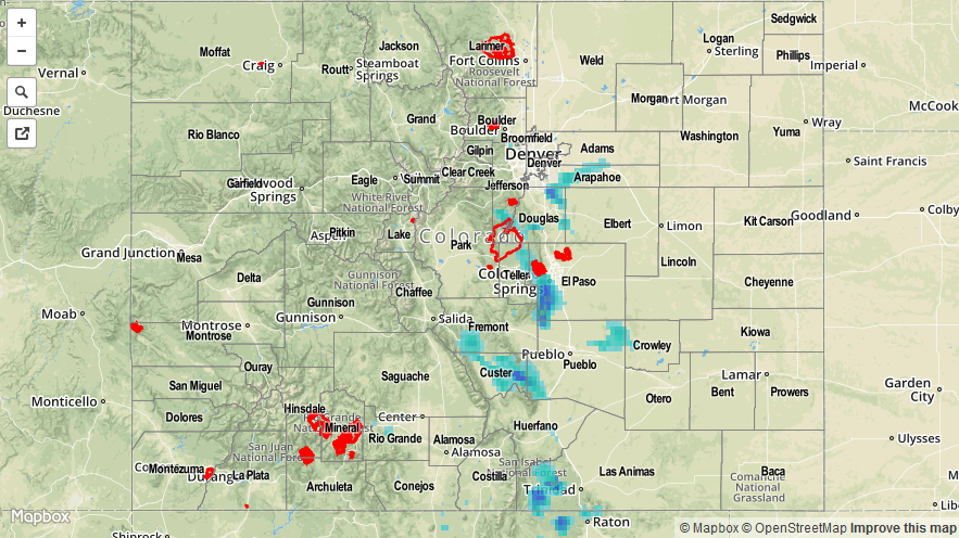
As weak, upper-level ridging built over the state, showers and thunderstorms became less numerous compared to previous days and mostly sunny skies prevailed. Temperatures were some of the highest readings of the year, so far, and served as a reminder that summer is ready to get into full swing. Isolated showers and thunderstorms still fired off, as they so often do in Colorado, with storms over the higher terrain producing mainly light rain and blustery winds. As storms moved off of the Front Range, however, they tapped into better moisture and instability, producing locally heavy rainfall and a few reports of severe hail:
11 miles SE of Aurora (Arapahoe County): 1.5 inch hail
3 miles NW of Parker (Douglas County): 1.0 inch hail
12 miles NNE of Penrose (Fremont County): Heavy rain, 1.25 inches fell in 20 minutes
For a look at statewide precipitation totals, be sure to check out the radar-derived Storm Total Precipitation map.