Issue Date: Monday, May 20th, 2019
Issue Time: 10:15AM MDT
Summary:
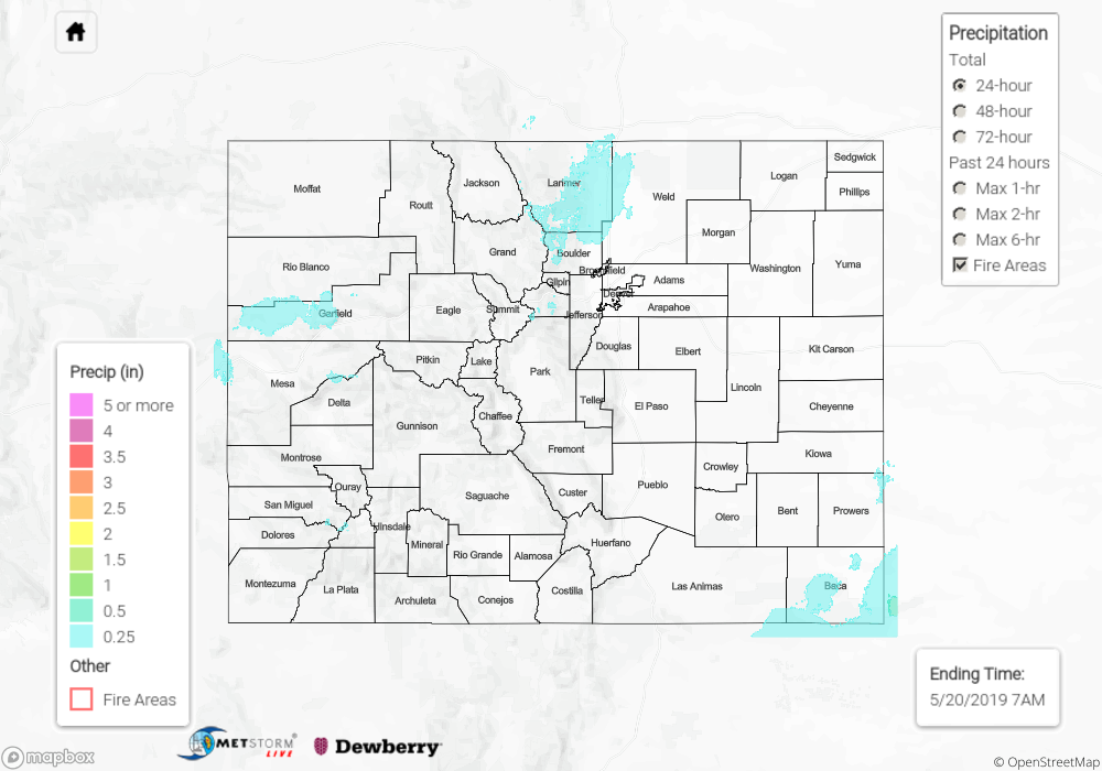
As the upper level low approached from the west, southwest flow pulled some higher moisture into the southern tier of the state. Generally, showers and weak thunderstorms were confined to the higher terrains with some spill over activity into the adjacent valleys for western Colorado. Not a lot of rainfall for the southeast quadrant of the state due to downsloping effects. With a surface low over the eastern plains, moisture and upslope flow combined for some light showers over the Front Range. As the storms moved into the adjacent plains, totals quickly began to drop off. Overall, temperatures remained cool once again, although highs were slightly higher than Saturday.
The highest rainfall values Sunday were reported over the Front Range, Roan Plateau and San Juan Mountains where radar indicates just under 0.5 inches fell. A SNOTEL site in Niwot recorded 0.6 inches. A couple nocturnal thunderstorms over the far eastern plains produced 0.4 inches. With limited low level moisture, storms yesterday did not produce flooding.
To see precipitation totals from Sunday over your neighborhood, scroll down to the State Precipitation Map below.
Click Here For Map Overview