Issue Date: Sunday, May 19th, 2019
Issue Time: 9:10 AM MDT
Summary:
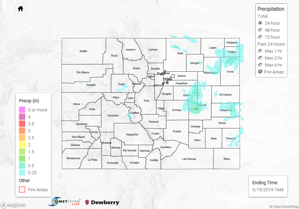
An upper-level trough traversing the Central Rockies yesterday was the culprit behind an unsettled Saturday across Colorado. The trough shifted broad-scale lift overhead, providing enough forcing to produce scattered rain and snow showers over the High Country, and widespread showers (with a few embedded thunderstorms) east of the mountains. Most of the precipitation was light, owing to generally meager moisture. However, across the eastern plains where activity persisted for a few hours, thunderstorms were able to draw on moist outflow from previous showers/storms to produce periods of moderate rainfall. Generally speaking, the first showers of the day began between around 10 AM, with most activity coming to an end by 8 PM; a few showers lingered over the northern High Country until 10 PM.
No flash flooding was reported yesterday. For a look at precipitation estimates in your area, please see the State Precipitation Map below.
Click Here For Map Overview
The map below shows radar-estimated, rainfall gage-adjusted Quantitative Precipitation Estimates (QPE) across Colorado. The map is updated daily during the operational season (May 1 – Sep 30) by 11AM. The following six layers are currently available: 24-hour, 48-hour and 72-hour total precipitation, as well as maximum 1-hour, 2-hour and 6-hour precipitation over the past 24 hour period (to estimate where flash flooding may have occurred). The 24-hour, 48-hour and 72-hour total precipitation contain bias corrections that are not disaggregated into the hourly estimates, so there will likely be some differences. The accumulation ending time is 7AM of the date shown in the bottom right corner. Also shown optionally are vulnerable fire burn areas (post 2012), which are updated throughout the season to include new, vulnerable burn areas. The home button in the top left corner resets the map to the original zoom.