Issue Date: 5/18/2019
Issue Time: 8:55 AM
NO FLOOD THREAT IS FORECAST TODAY.
The upper-level trough and corresponding upper-level low pressure center are traversing the Central Rockies today, providing support for another unsettled day across Colorado. Moisture has been reduced as compared to yesterday, and high temperatures will be cooler as well, resulting in an environment lacking the instability to produce thunderstorms capable of heavy rainfall. Instead, the showers and storms today will be more garden-variety, producing snowfall mainly above 9000 feet, light-to-moderate rainfall elsewhere, with gusty outflow winds and occasional lightning.
Most of the activity will be garden-variety, with the exception of a couple strong thunderstorms over the Northeast Plains, Palmer Ridge, and Southeast Plains that will have gusty winds up to 40-50 mph, small hail, and brief moderate rainfall. Activity is expected to come to an end between 9 and 10 PM tonight. For more details on timing and rain rates, please see the zone-specific forecast discussions below.
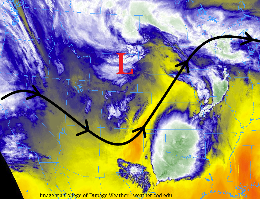
Today’s Flood Threat Map
For more information on today’s flood threat, see the map below. For Zone-Specific forecasts, jump below the map.

Zone-Specific Forecasts
Urban Corridor, Northeast Plains, Southeast Plains, Palmer Ridge, and Raton Ridge:
Cooler temperatures with scattered showers and thunderstorms are on tap today across the area. Most rainfall rates will be less than 0.2 inches/hour, but a couple stronger storms could produce rainfall rates in the 0.3-0.6 inches/hour range over the Northeast and Southeast Plains. Stronger storms will have the potential to produce wind gusts up to 40-50 mph and small hail.
Timing: 11 AM – 10 PM, with primetime between 2 PM and 8 PM
Front Range, Southeast Mountains, Northern Mountains, Northwest Slope, San Luis Valley, Central Mountains, San Juan Mountains, Grand Valley, and Southwest Slope:
Scattered showers and perhaps a weak thunderstorm or two are expected today, producing light rain and snow showers. Snow levels are expected to be around 8,000 – 9,000 feet, with a trace to 4 inches of accumulation possible over mountain peaks, with a few peaks in the Central Mountains possibly receiving up to 4-8 inches by tomorrow morning. Below 8000 feet, rain rates will be less than 0.2-0.3 inches/hour.
Timing: 11 AM – 9 PM, with the best coverage between Noon and 7 PM.