SPM 05-10-2019: Snow for the Mountains and Freezing Temperatures over the Plains

Issue Date: Friday, May 10th, 2019
Issue Time: 9:00AM MDT

Summary:

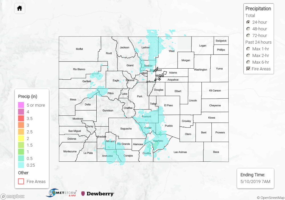
Freezing temperatures reported overnight on the eastern plains with dense fog reported over El Paso County early this morning. General values of precipitation yesterday were 0.01 to 0.1 inches over the lower elevations with some higher totals over the Central, San Juan and Southeast Mountains. As far as snow totals, the highest reported value was over the San Juan Mountains in Custer County where another 15 inches of snow fell near Westcliffe. The San Luis Valley had another day of measurable rain with CoCoRaHS in the valley reporting between 0.2 and 0.45 inches of rainfall. Flooding was not reported on Thursday.

To see precipitation totals over in your area, scroll down to the State Precipitation Map below.

Click Here For Map Overview

The map below shows radar-estimated, rainfall gage-adjusted Quantitative Precipitation Estimates (QPE) across Colorado. The map is updated daily during the operational season (May 1 – Sep 30) by 11AM. The following six layers are currently available: 24-hour, 48-hour and 72-hour total precipitation, as well as maximum 1-hour, 2-hour and 6-hour precipitation over the past 24 hour period (to estimate where flash flooding may have occurred). The 24-hour, 48-hour and 72-hour total precipitation contain bias corrections that are not disaggregated into the hourly estimates, so there will likely be some differences. The accumulation ending time is 7AM of the date shown in the bottom right corner. Also shown optionally are vulnerable fire burn areas (post 2012), which are updated throughout the season to include new, vulnerable burn areas. The home button in the top left corner resets the map to the original zoom.